Kings Canyon National Park
Kings Canyon is north of and contiguous with Sequoia National Park, and both parks are jointly administered by the National Park Service as the Sequoia and Kings Canyon National Parks.
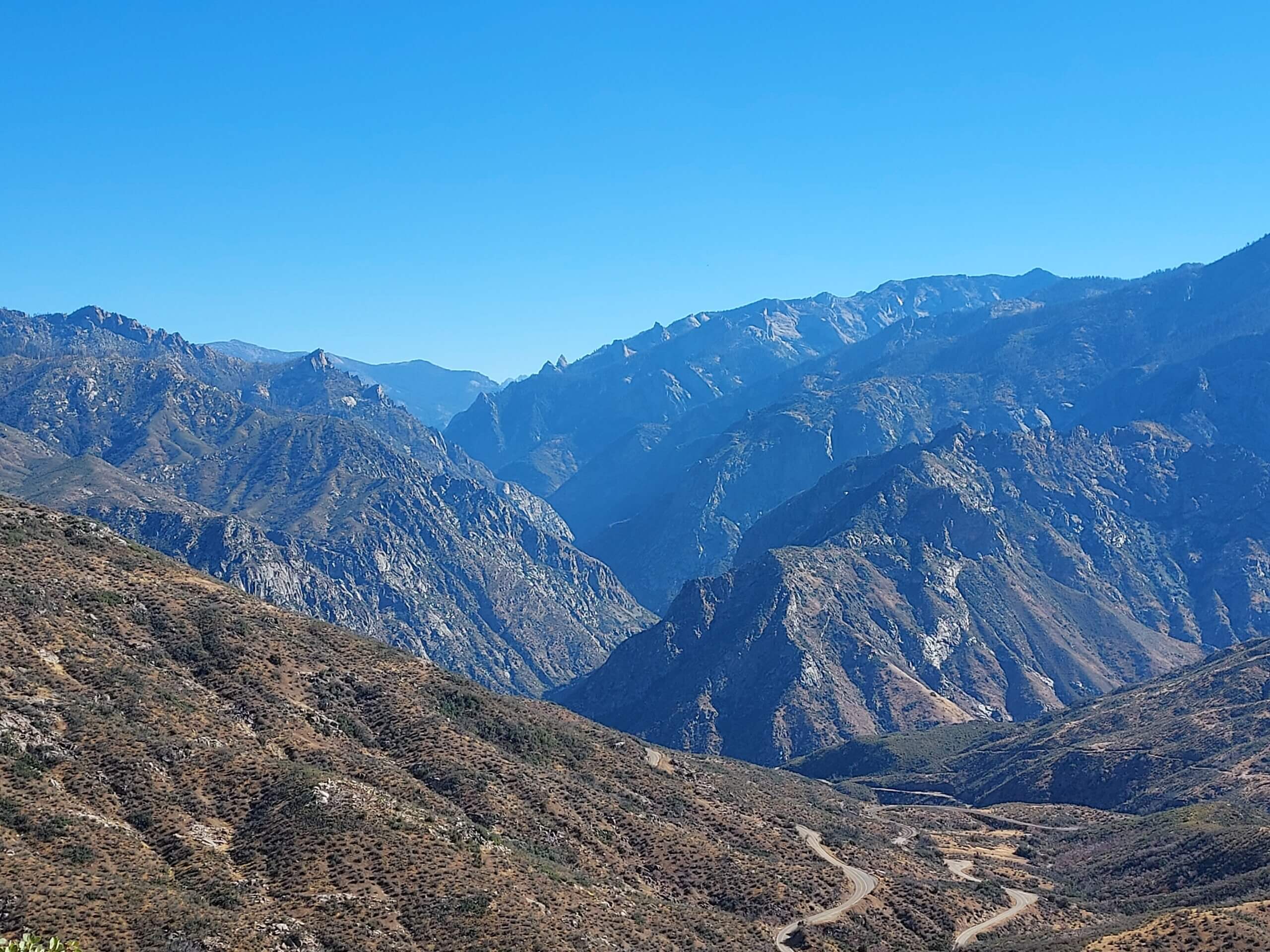
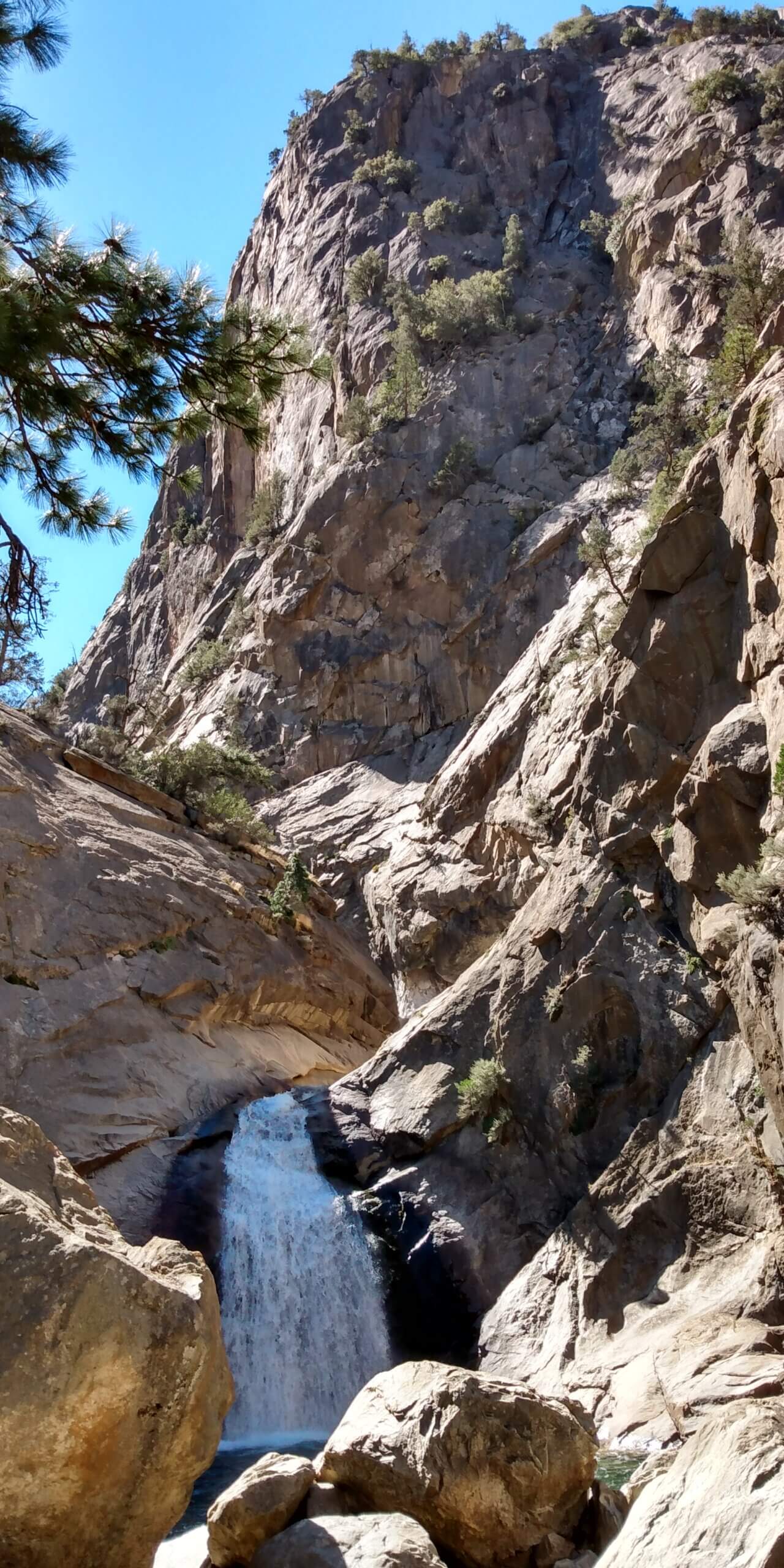
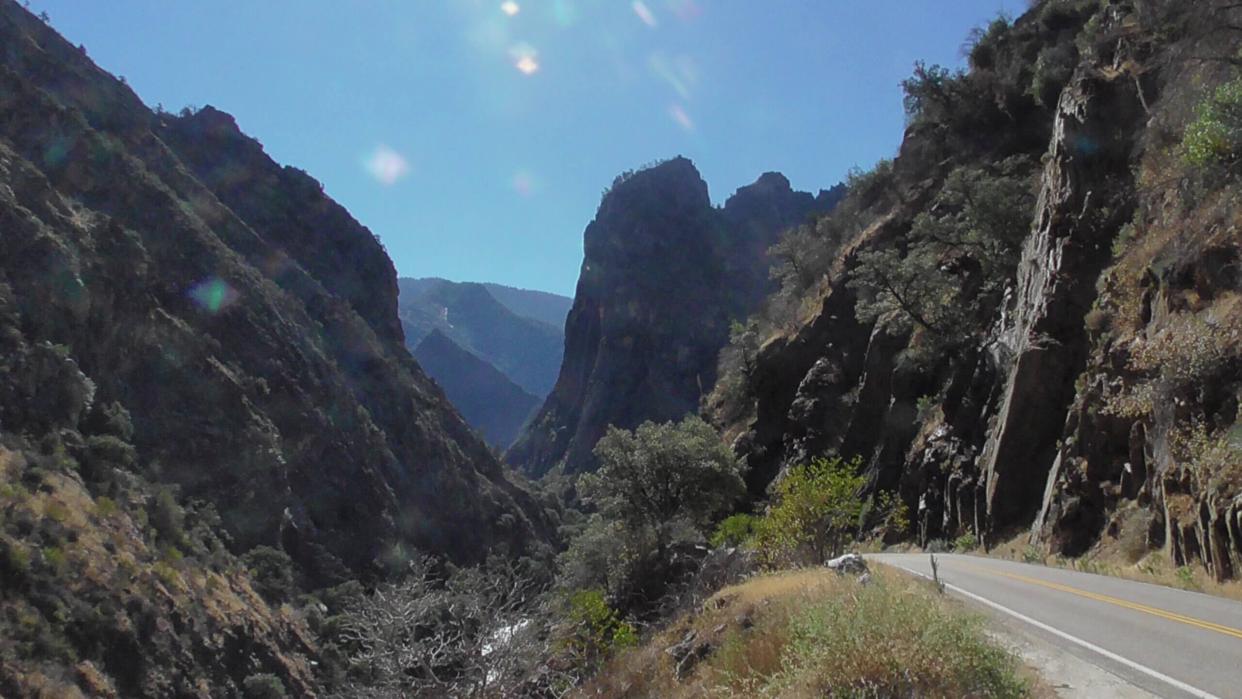
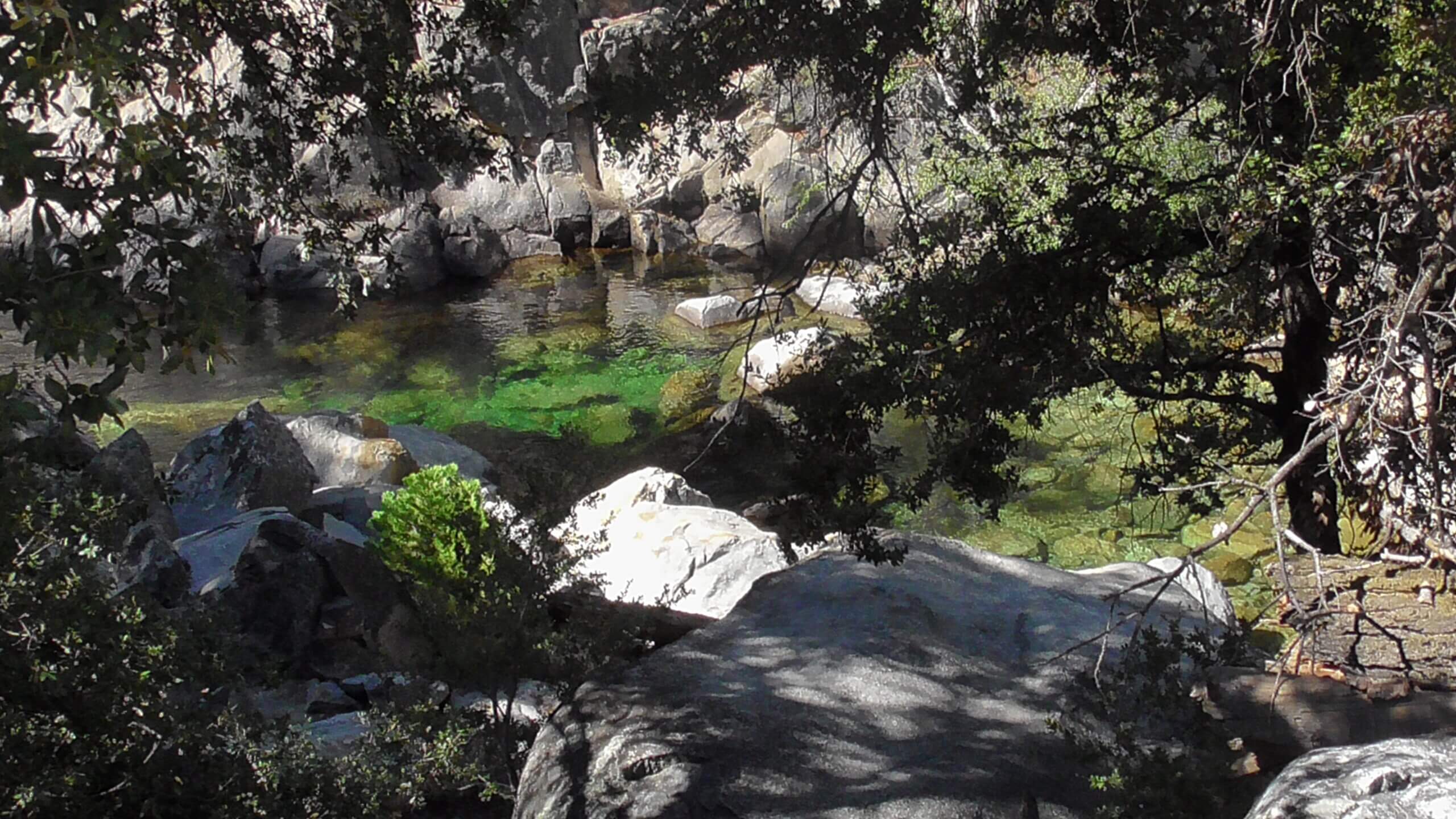
The park’s namesake, Kings Canyon, is a rugged glacier-carved valley more than a mile deep. Other natural features include multiple 14,000-foot peaks, high mountain meadows, swift-flowing rivers, and some of the world’s largest stands of giant sequoia trees.
Road’s End is the jump off spot towards exploring the High Sierra. Overnight hiking is required to access most of the park’s backcountry, or high country, which for much of the year is covered in deep snow. The combined Pacific Crest Trail/John Muir Trail, a backpacking route, traverses the entire length of the park from north to south.
The park has only limited services and lodgings despite its size. Due to this and the lack of road access to most of the park, Kings Canyon remains the least visited of the major Sierra parks, with just under 700,000 visitors in 2017 compared to 1.3 million visitors at Sequoia and over 4 million at Yosemite.
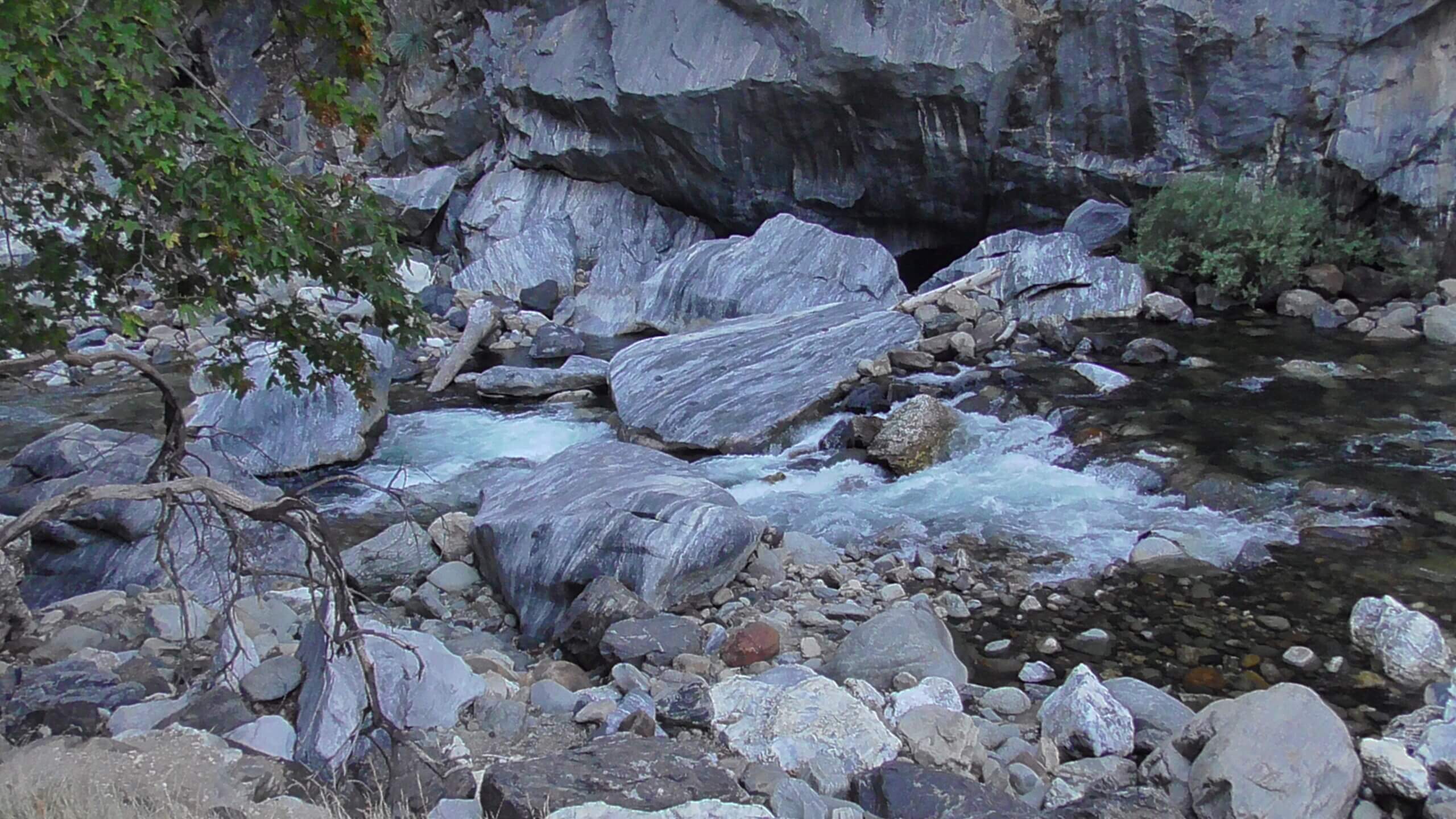
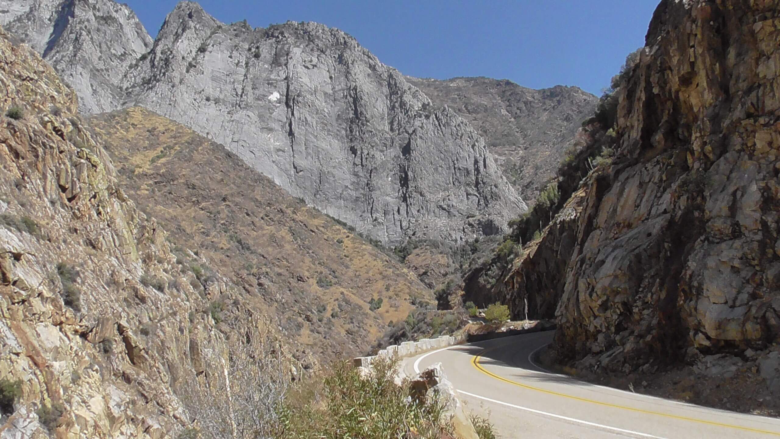
The present shape of the high country was largely sculpted by glaciations during successive Ice Ages over the last 2.5 million years. Large valley glaciers moved as far as 44 miles down the South and Middle Forks of the Kings River, carving out the distinctive deep U-shaped valleys at Cedar Grove and Paradise Valley on the South Fork, and Tehipite Valley on the Middle Fork. Ice Age glaciations did not extend all the way to the confluence of the Middle and South Forks; consequently, the canyons downstream of Cedar Grove and Tehipite are typical V-shaped river gorges, in contrast to the U-shaped valleys upstream.
Geology of Kings Canyon and Sequoia National Parks