Missoula, Montana
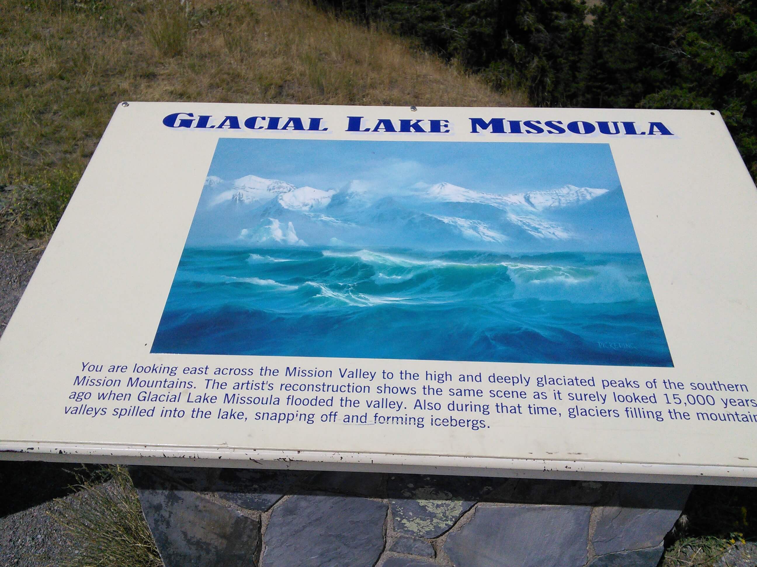
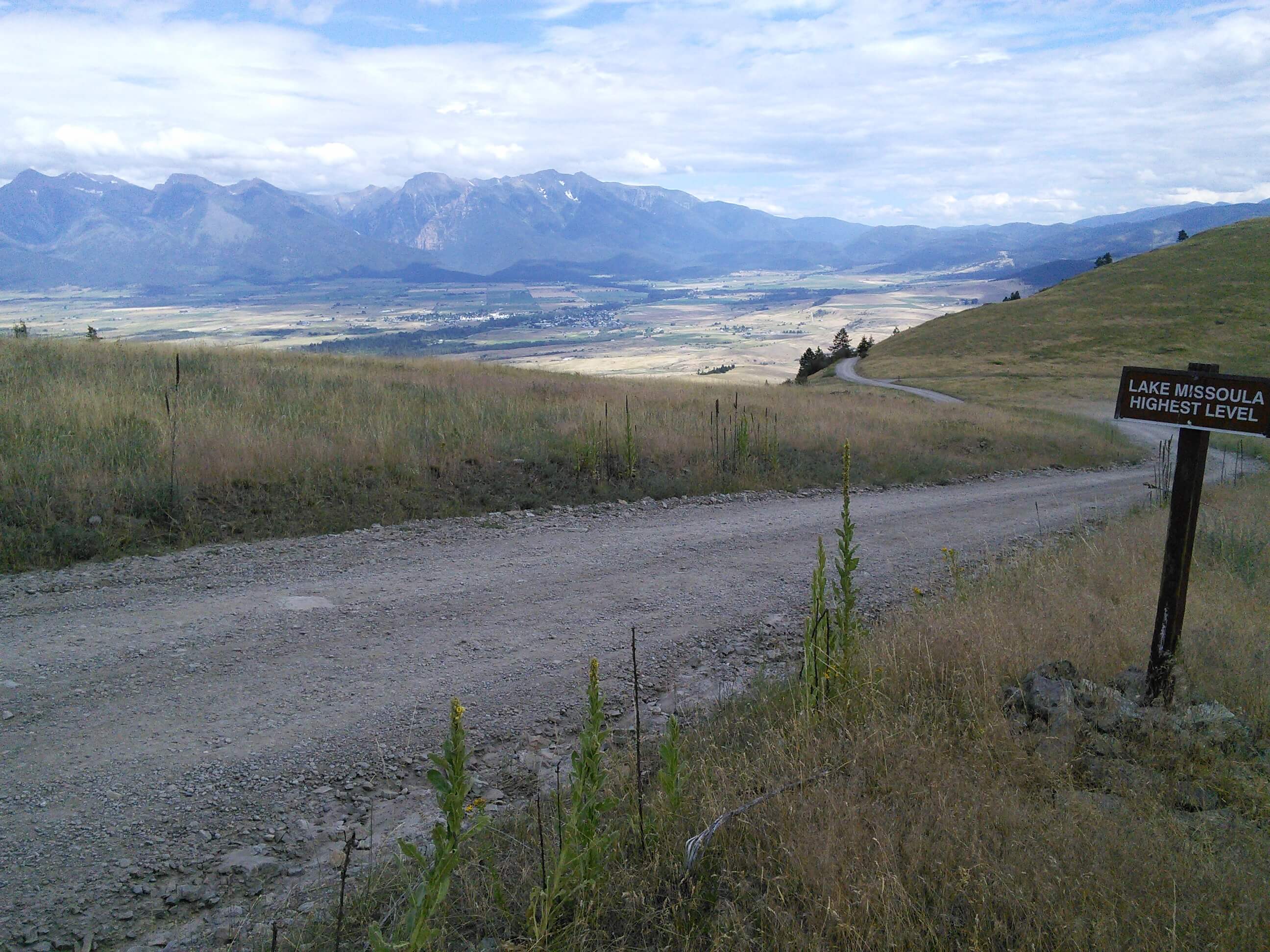
I stayed at Missoula because of the ancient lake named after it. 15,000 years ago, a lobe of the continental glacier blocked the Clark Ford river in northern Idaho with a wall of ice 2,500 feet tall and miles wide. The river backed up for more than 200 miles into Montana and the lake at the ice dam was 2,000 feet deep. The lake eventually swelled to 500 cubic miles – the size of Lake Erie and Lake Ontario combined. The site that the University of Missoula now occupies was under 950 feet of water.
The ice dam collapsed and created a humongous flood with a wall of water sometimes a 1,000 feet high racing at 65 miles an hour, sweeping all before it. These floods occurred not just once but dozens of times, racing through northern Idaho and sweeping through eastern Washington to the sea through the Columbia Gorge between Washington and Oregon. This created a unique topography called the Scablands with Coulees and giant potholes. Diagram of Missoula Floods