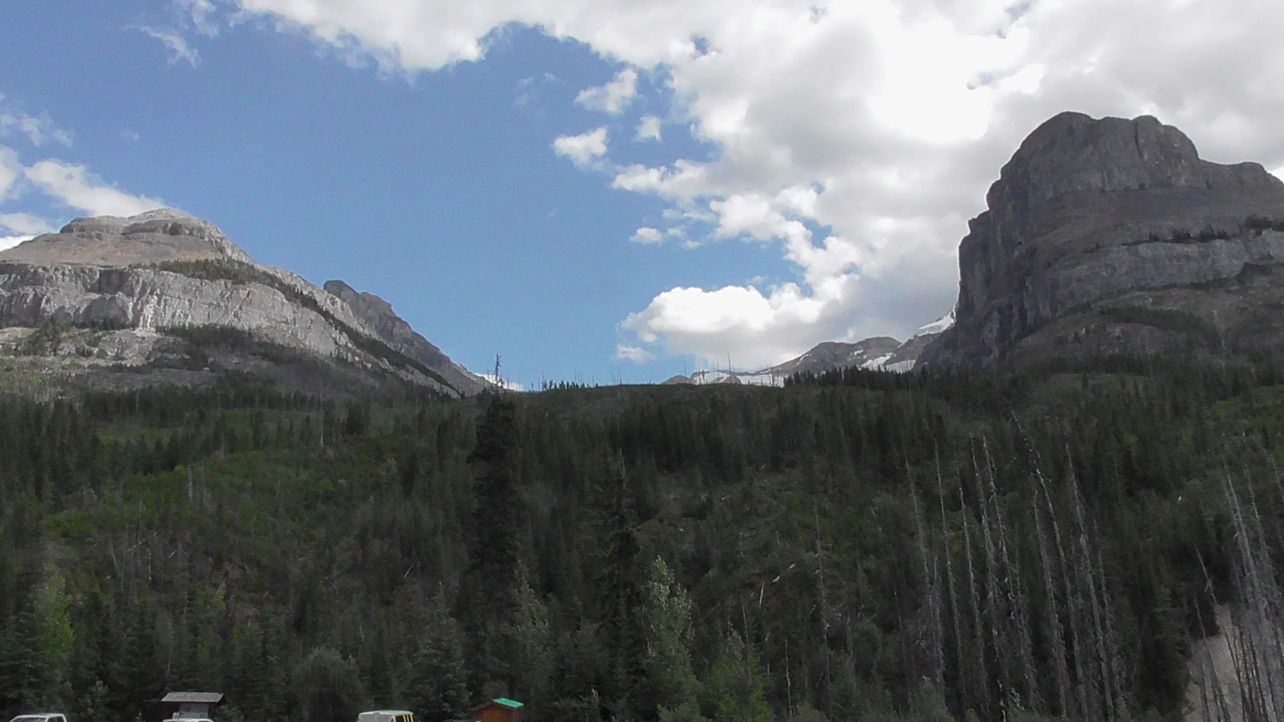
Stanley Glacier, Kootenay National Park, British Columbia
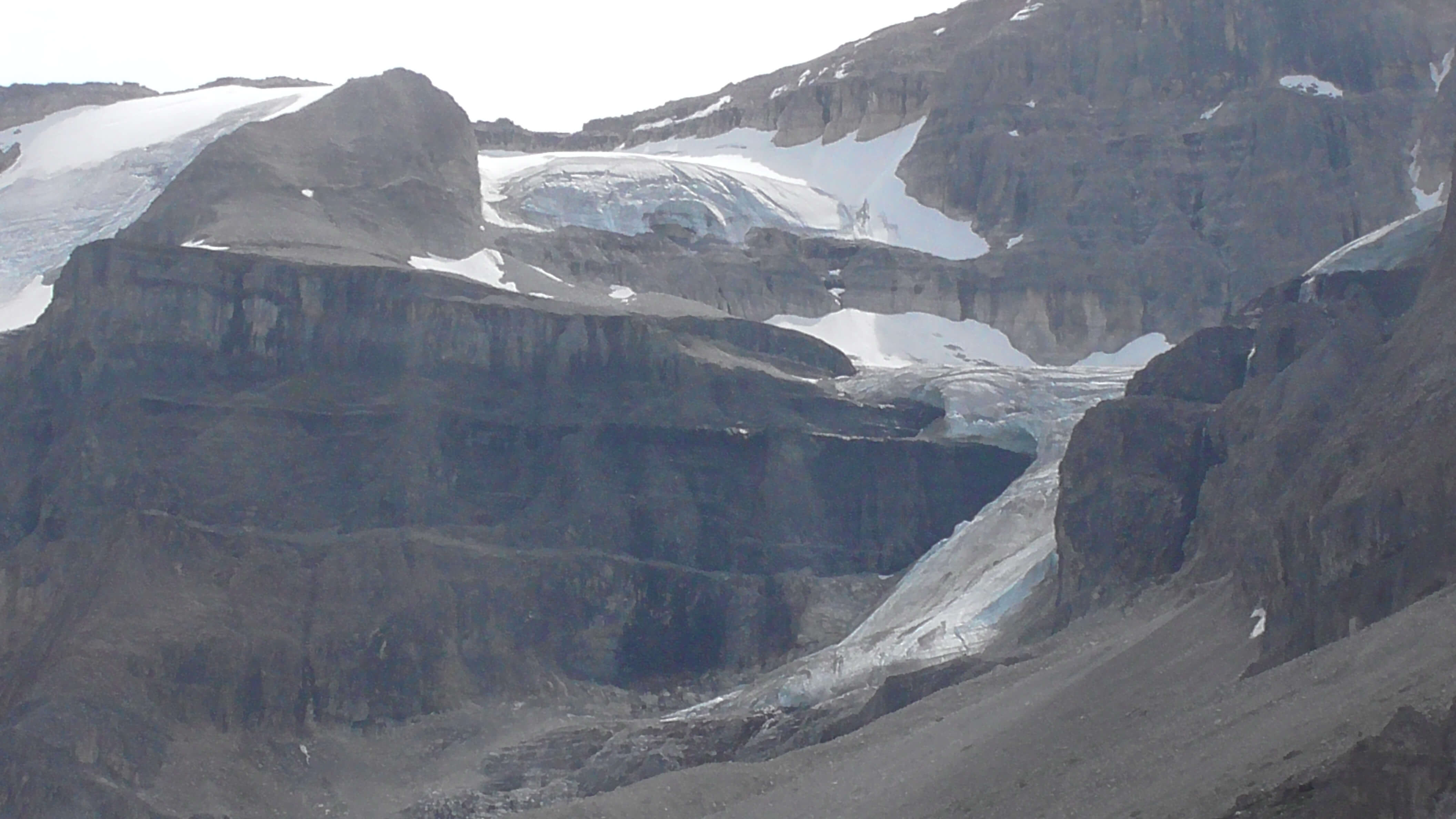
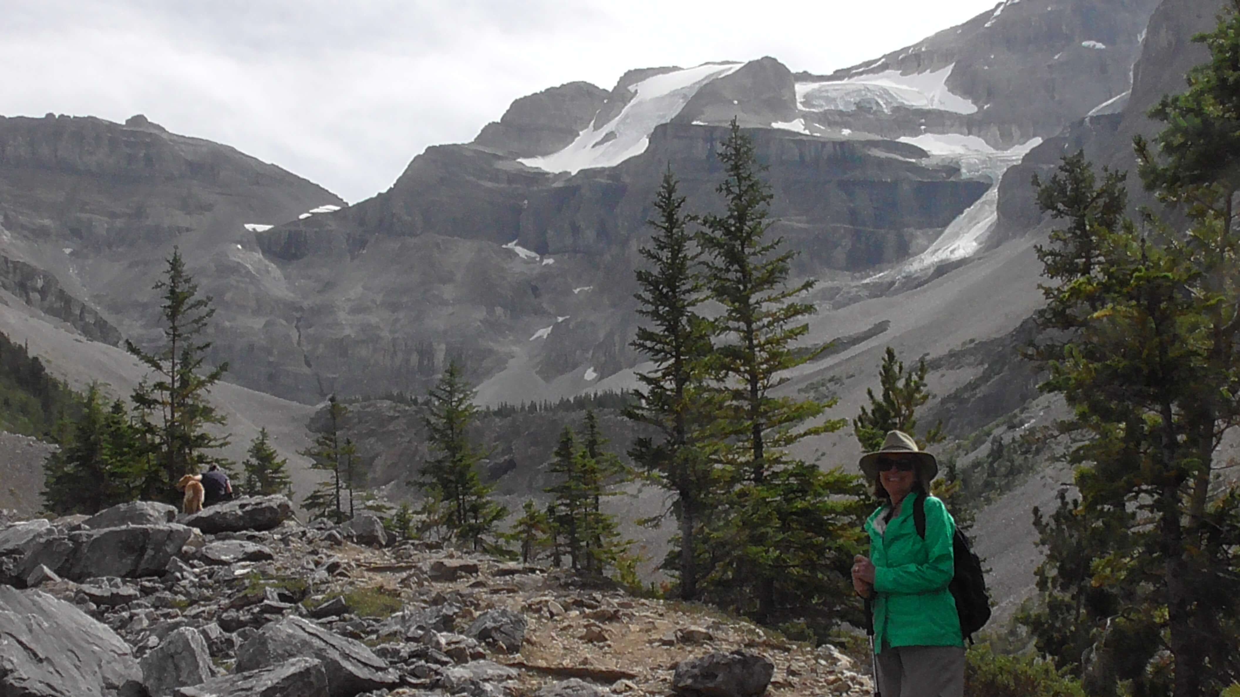
This trail begins at 5,200 ft and provides stunning views of adjacent mountains including Stanley Peak (10,348 ft), Storm Mountain (10,371 ft), Mount Whymper (9,327 ft) and Boom Mountain (9,055 ft).
The Stanley Glacier trail initially crosses the Vermilion River on a narrow wooden bridge, then quickly and gently gains 1,148 ft of elevation on excellent quality, well-graded and well-traveled switchbacks. There is ample evidence of forest fires in 1968 and 2003.
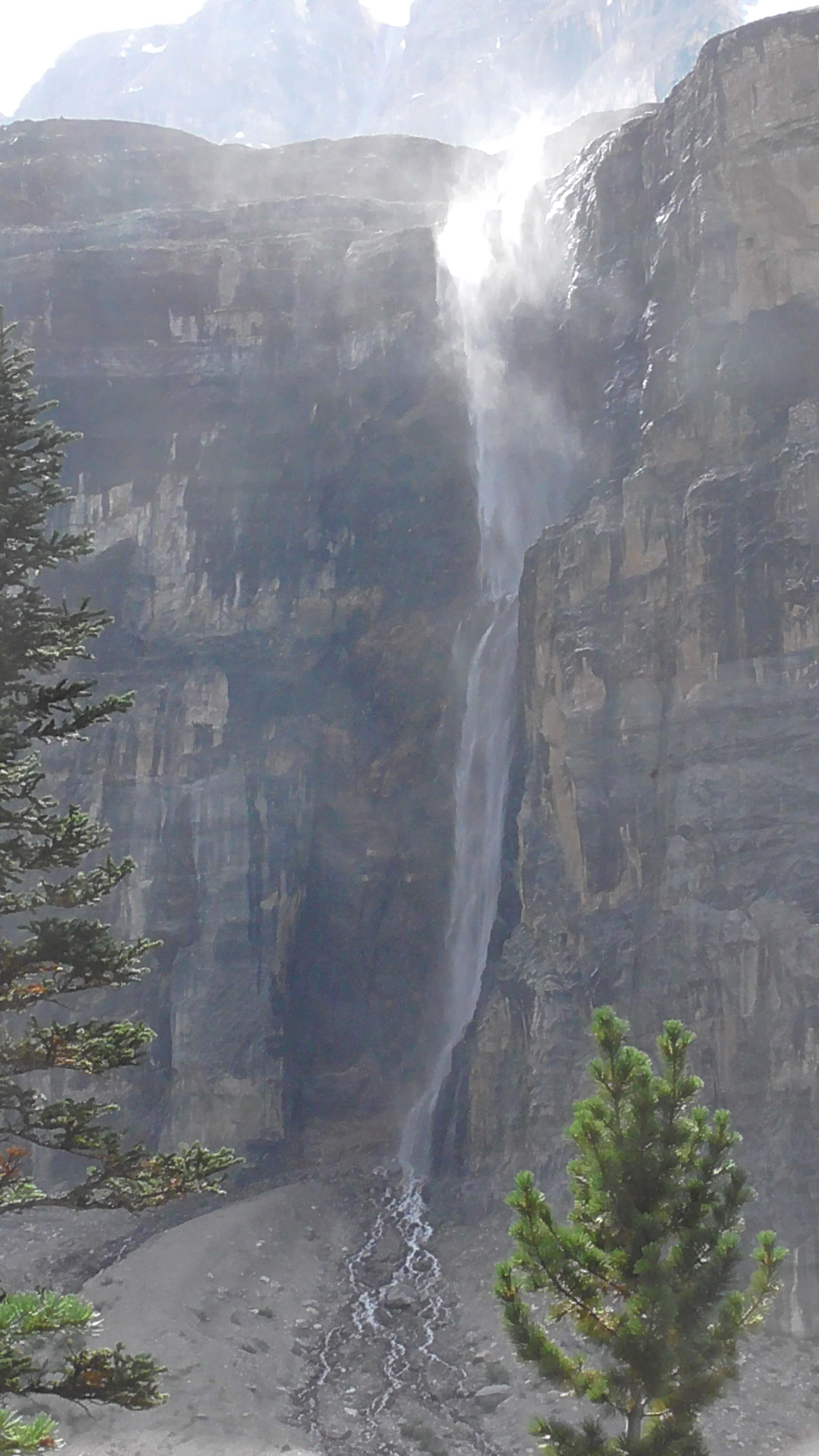
The waterfall on the right side after you reach the top is blown to cottony veils when the wind blows hard. It also has fossils at the bottom that are related to the Burgess Shale fossils of the Early Cambrian Period. During the winter, this waterfall becomes an ice climb that is one of the hardest in the world. The ice climb is called “Nemesis”.