Prince Edward Island National Park Prince Edward Island
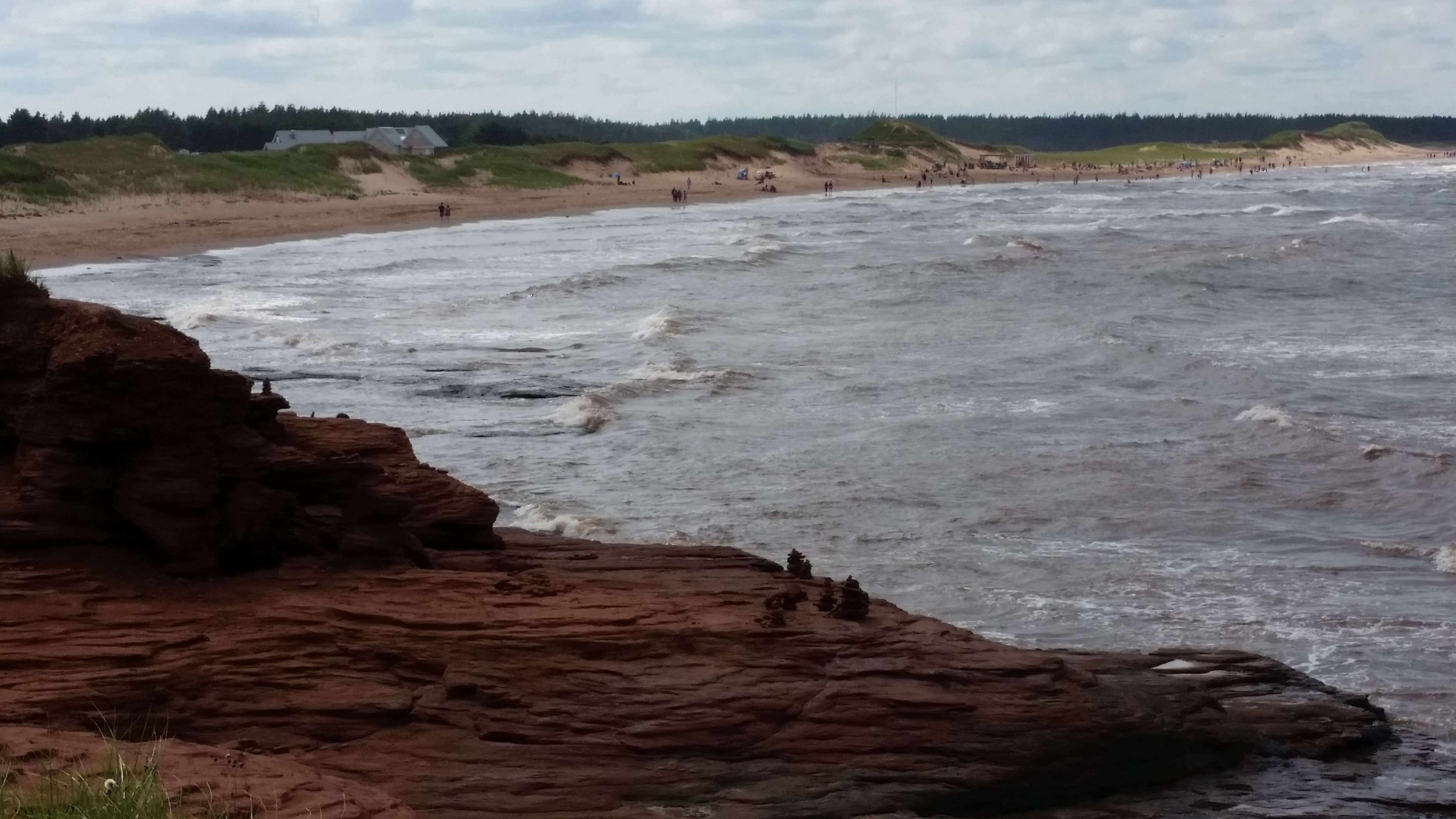
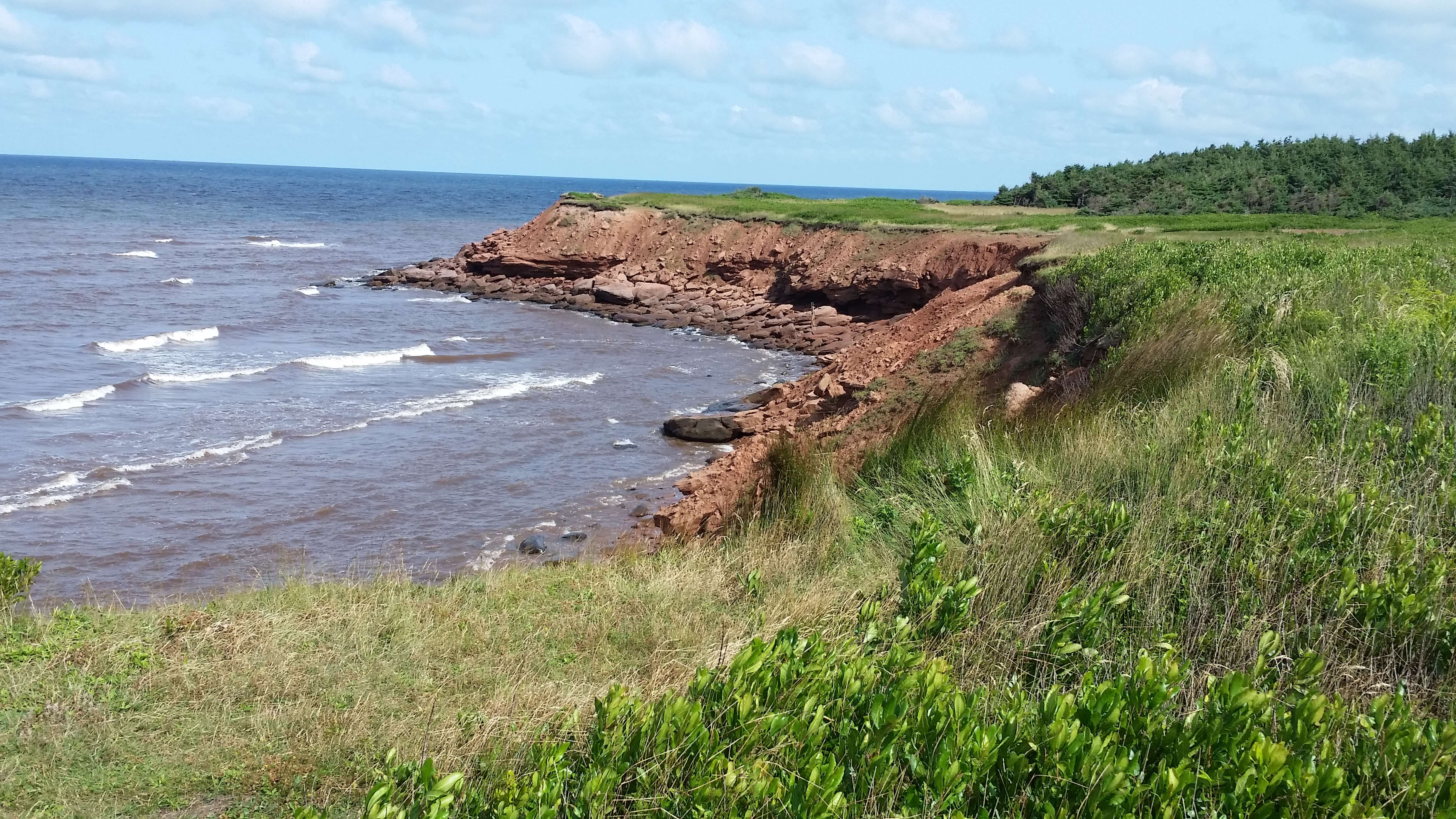
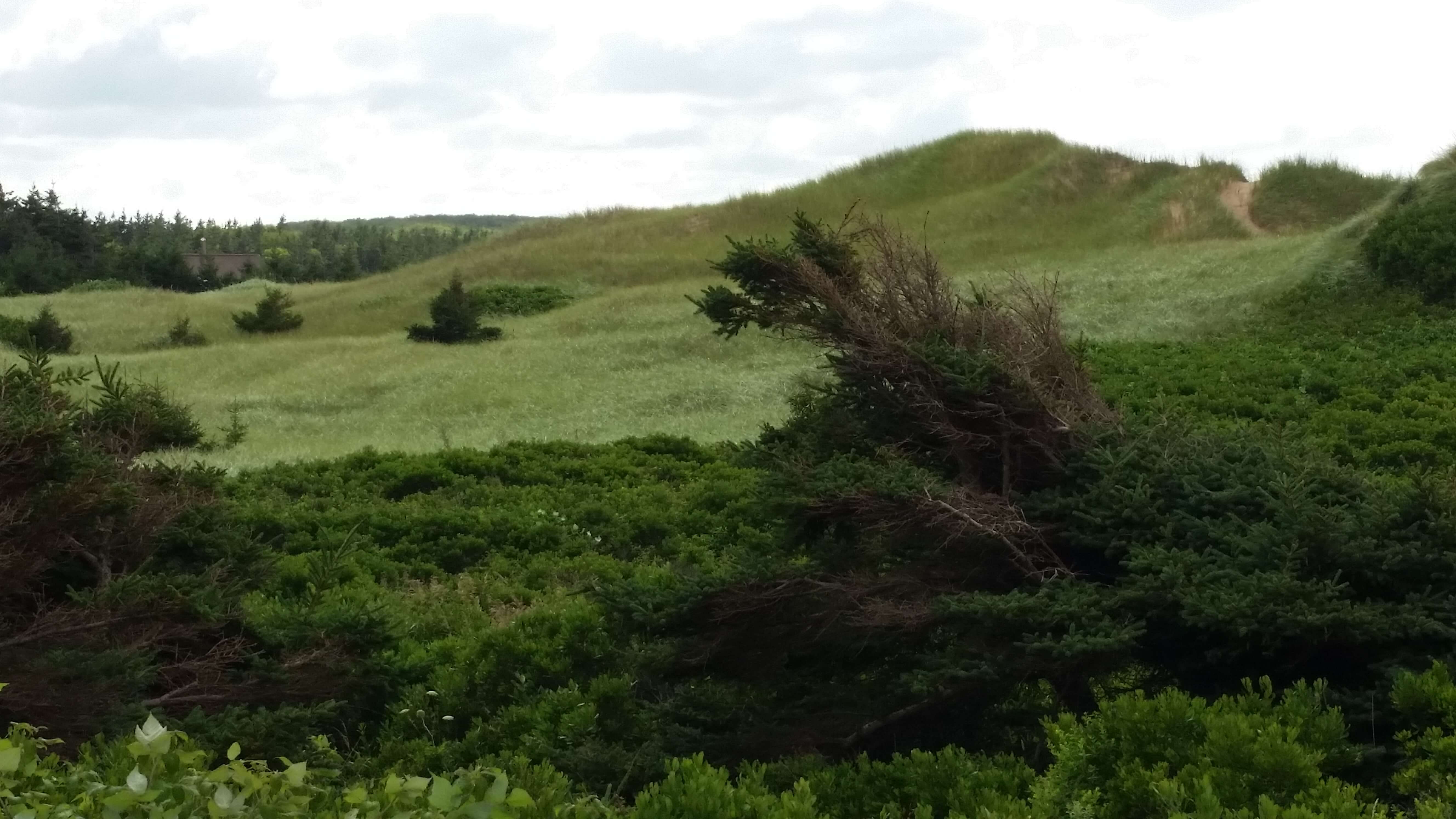
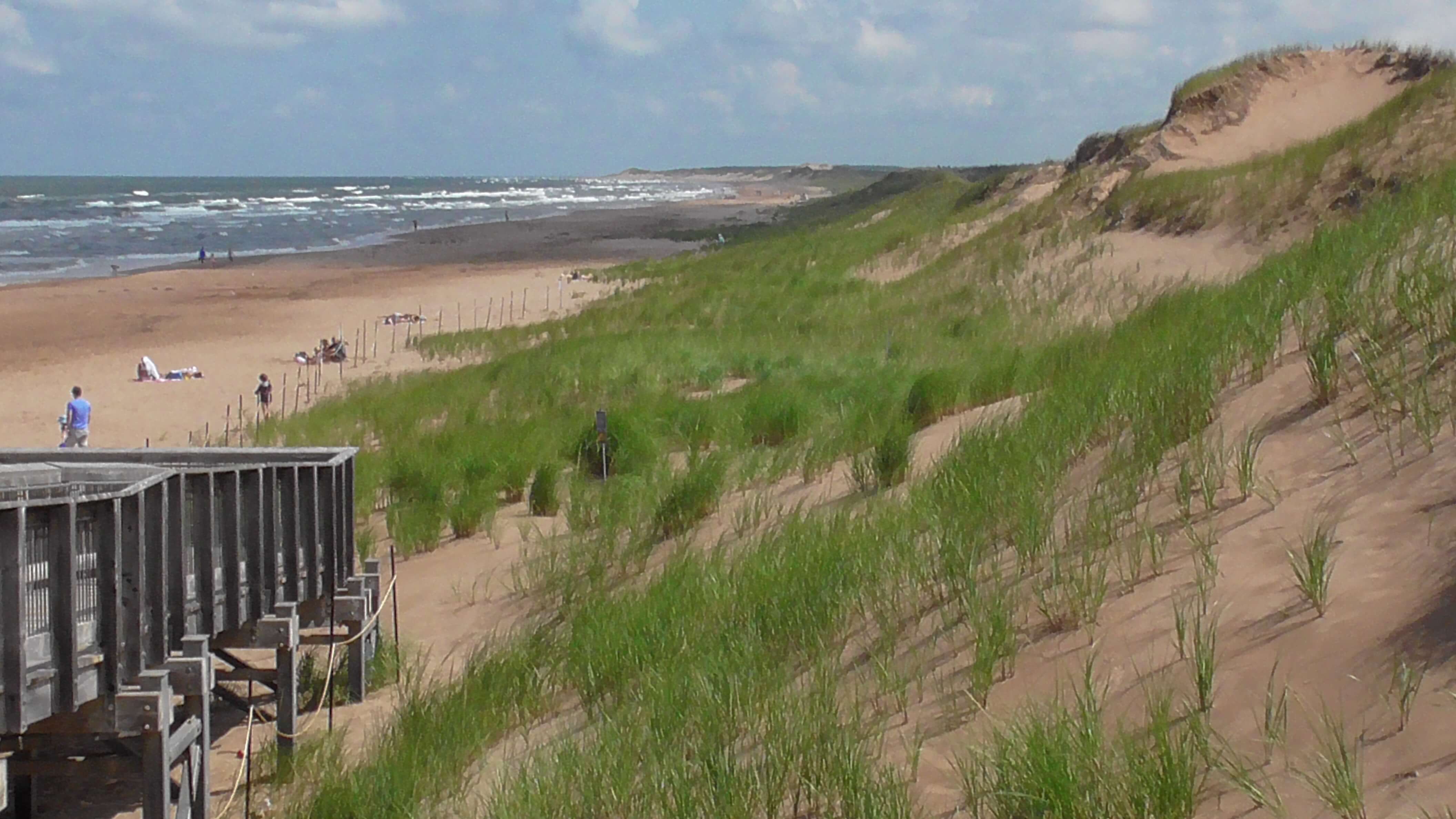
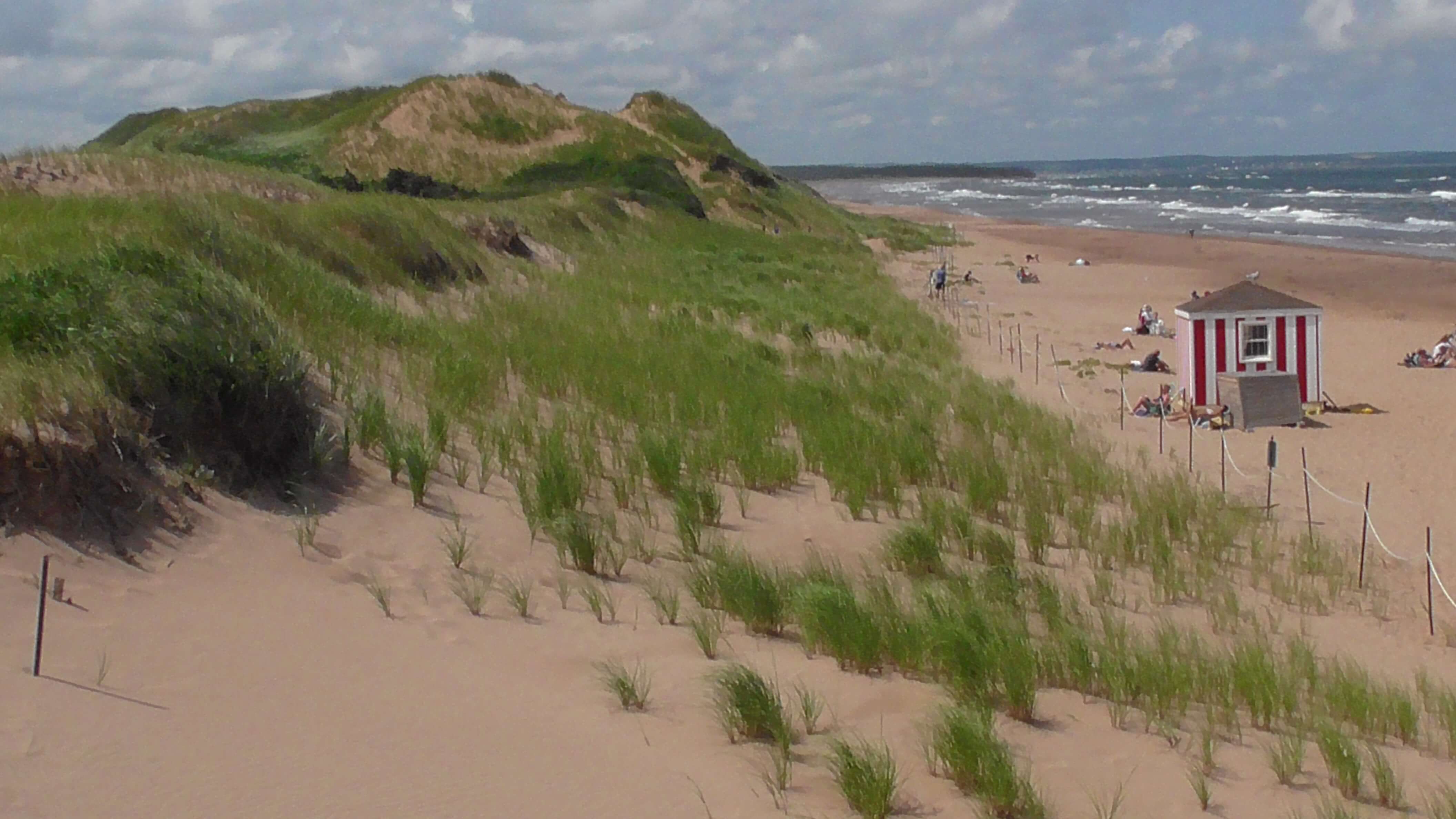
Prince Edward Island National Park is a Canadian National Park on the north side of PEI. It spans a spectacular stretch of land encompassing sand dunes, salt marshes, remnants of an Acadian forest, coastal headlands, beaches, and sandstone cliffs. With more than 300 species of birds, including the endangered piping plover, the park plays a significant role in shorebird migration in spring and fall. In 1998, the park expanded to include 990 acres on the Greenwich Peninsula, where rare, u-shaped dunes—known as parabolic dunes—are located. This is also the region where archaeological digs revealed that Paleo-Indians lived here 10,000 years ago.
Geology
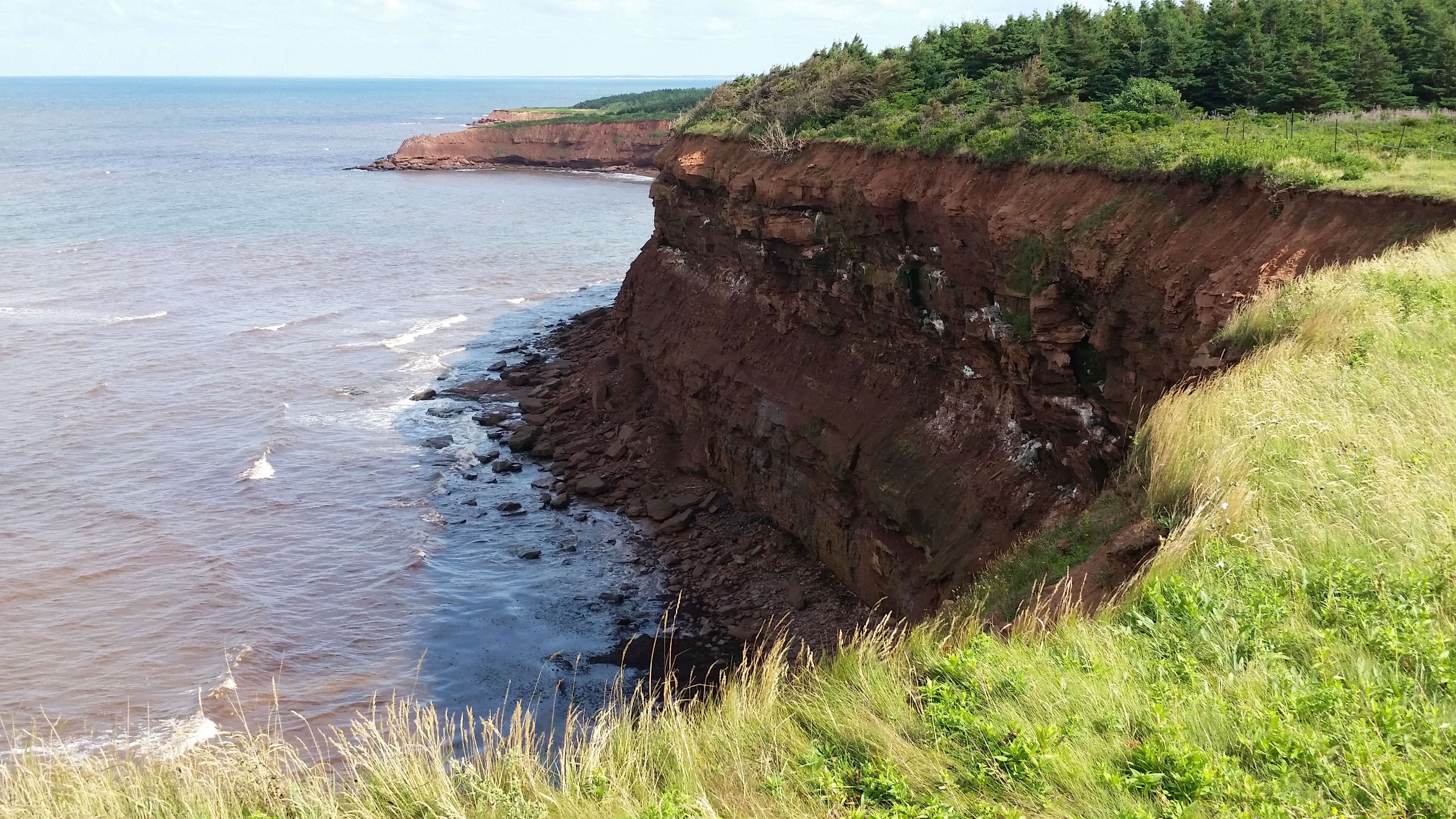
Prince Edward Island, geologically, is part of the “Maritimes Basin,” a geographically low area that was filled, hundreds of millions of years ago during the Carboniferous, by sandy sediments eroded from the newly-formed Appalachian mountains to the south and west.
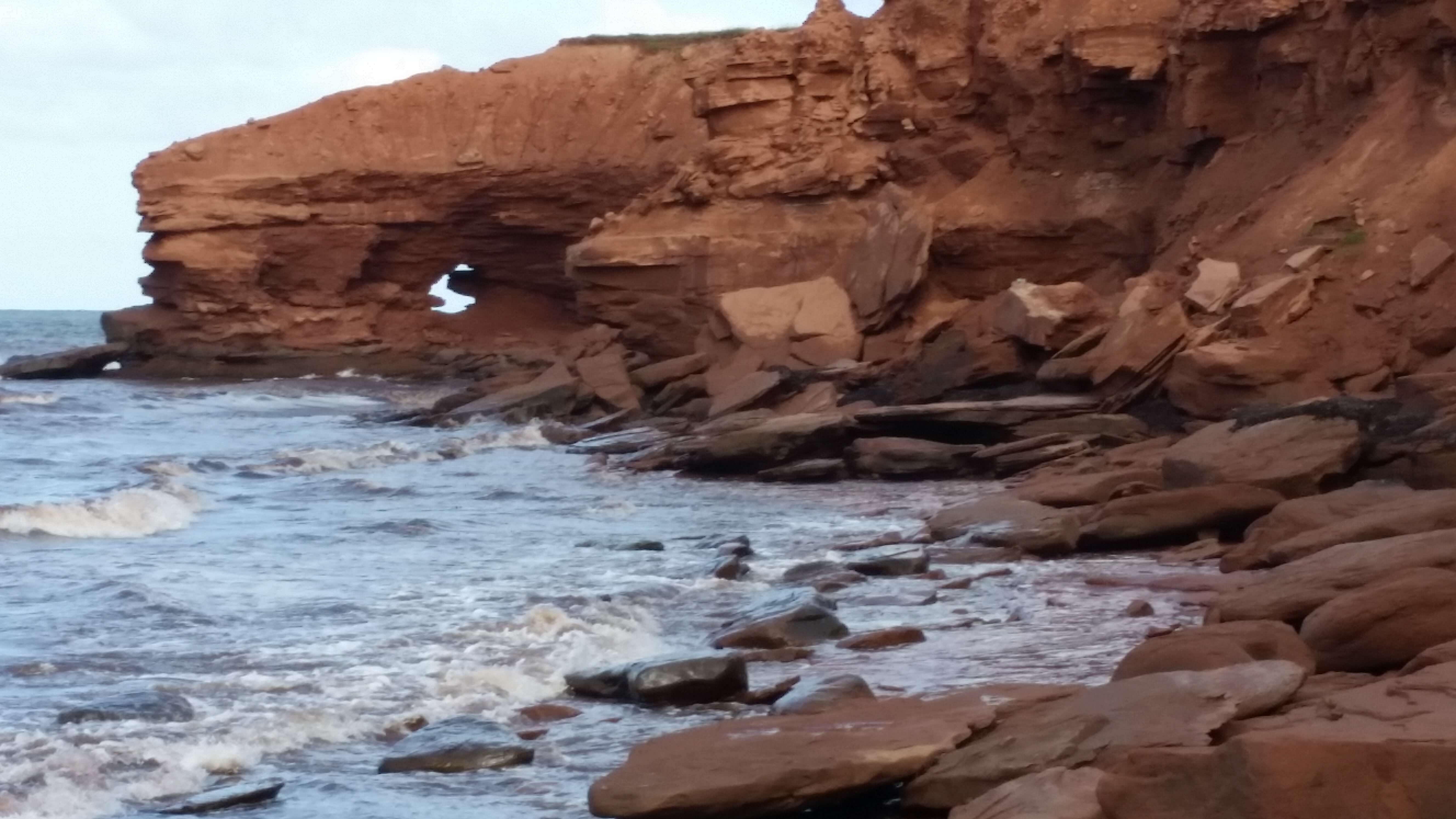
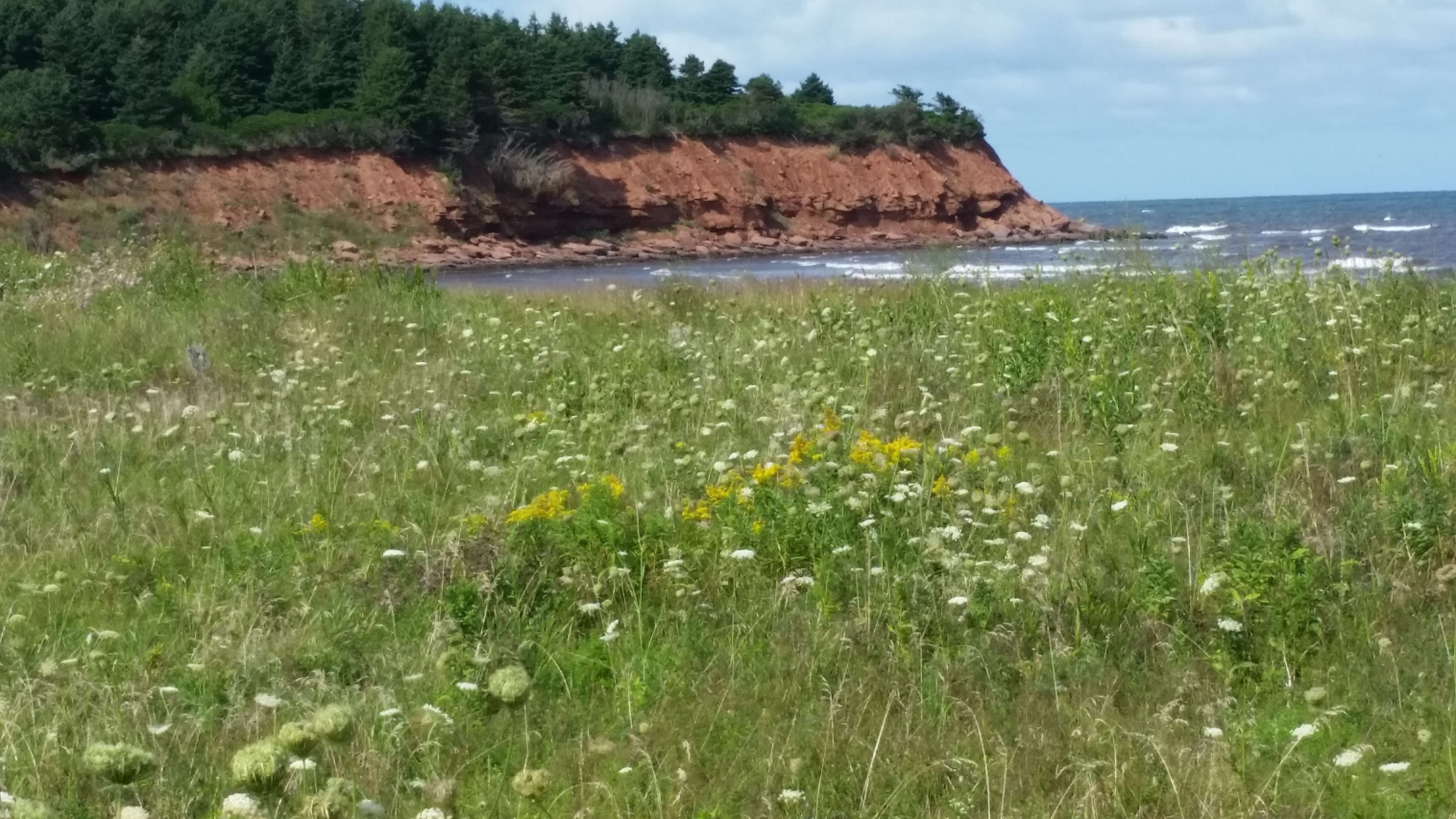
Over time, rivers deposited gravel, silt, and sand into a low-lying basin, forming sandstone bedrock. The “PEI Redbeds” (more properly referred to as the Pictou Group) are red because each individual quartz sand grain is coated with a fine dust of hematite — iron oxide.
The Island was further shaped by glaciers during the ice ages. As the glaciers retreated, Prince Edward Island gradually took shape.
The rocks are not particularly well-cemented, and wave erosion easily makes sand-stone into beach. Erosion of the sandstone cliffs on the western part of the park contribute to the sand of the beaches on the eastern part.