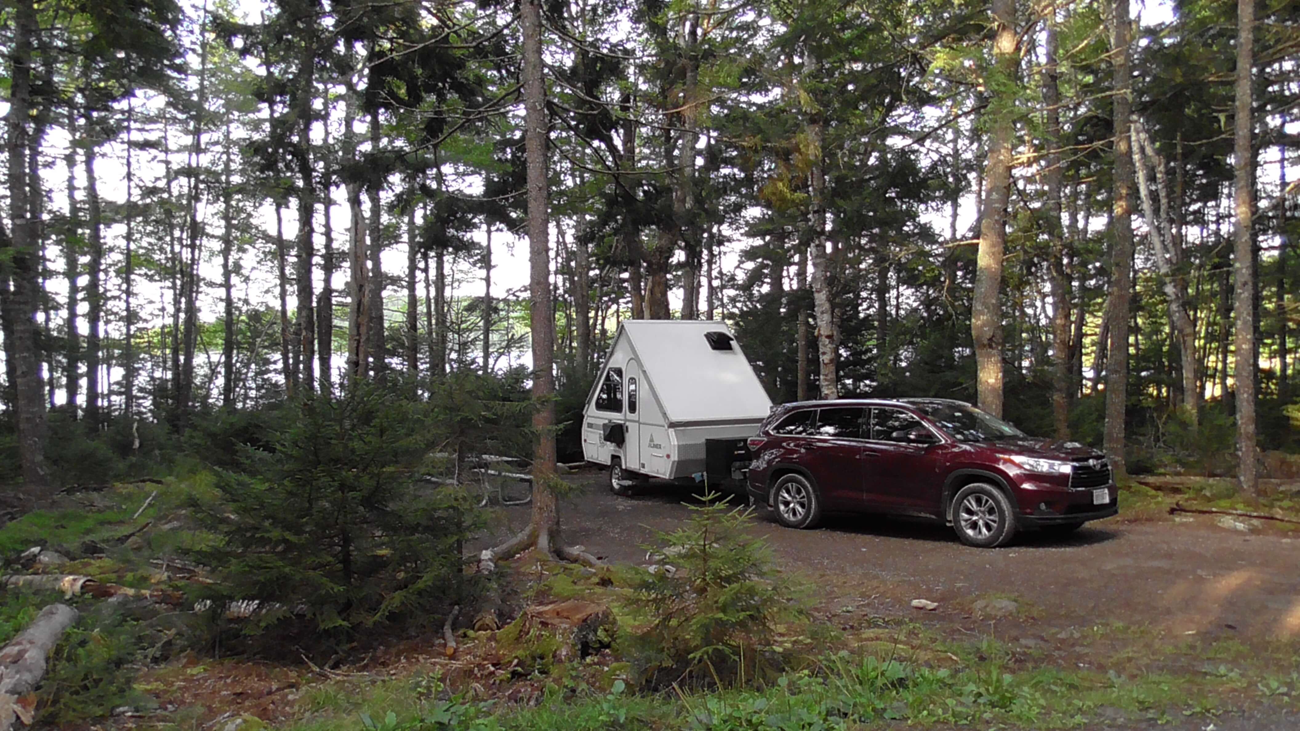
Kejimkujik National Park, Nova Scotia
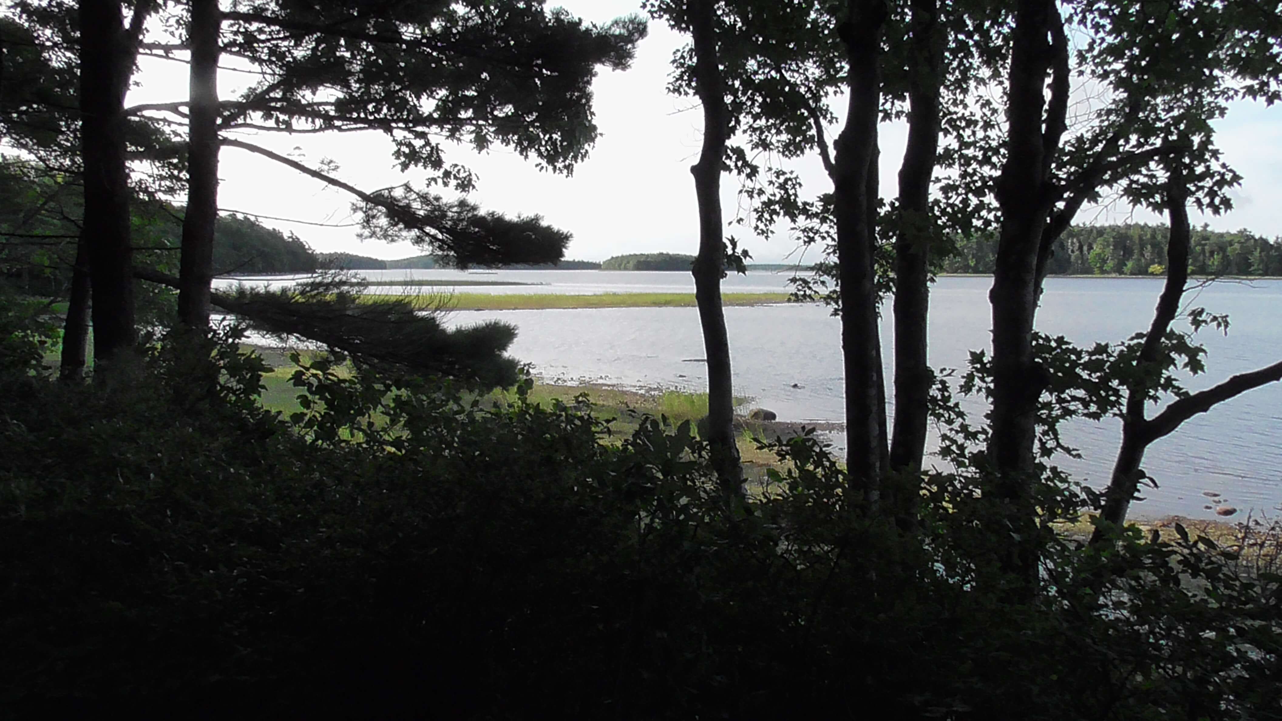
The park is named after Kejimkujik Lake, the largest lake inside the main section of the park. The many lakes and rivers form interior waterways that were important canoe routes between the Bay of Fundy and the Atlantic for the ancestors of the Mi’kmaq First Nations. The park also contains the petroglyphs left behind by these inhabitants.
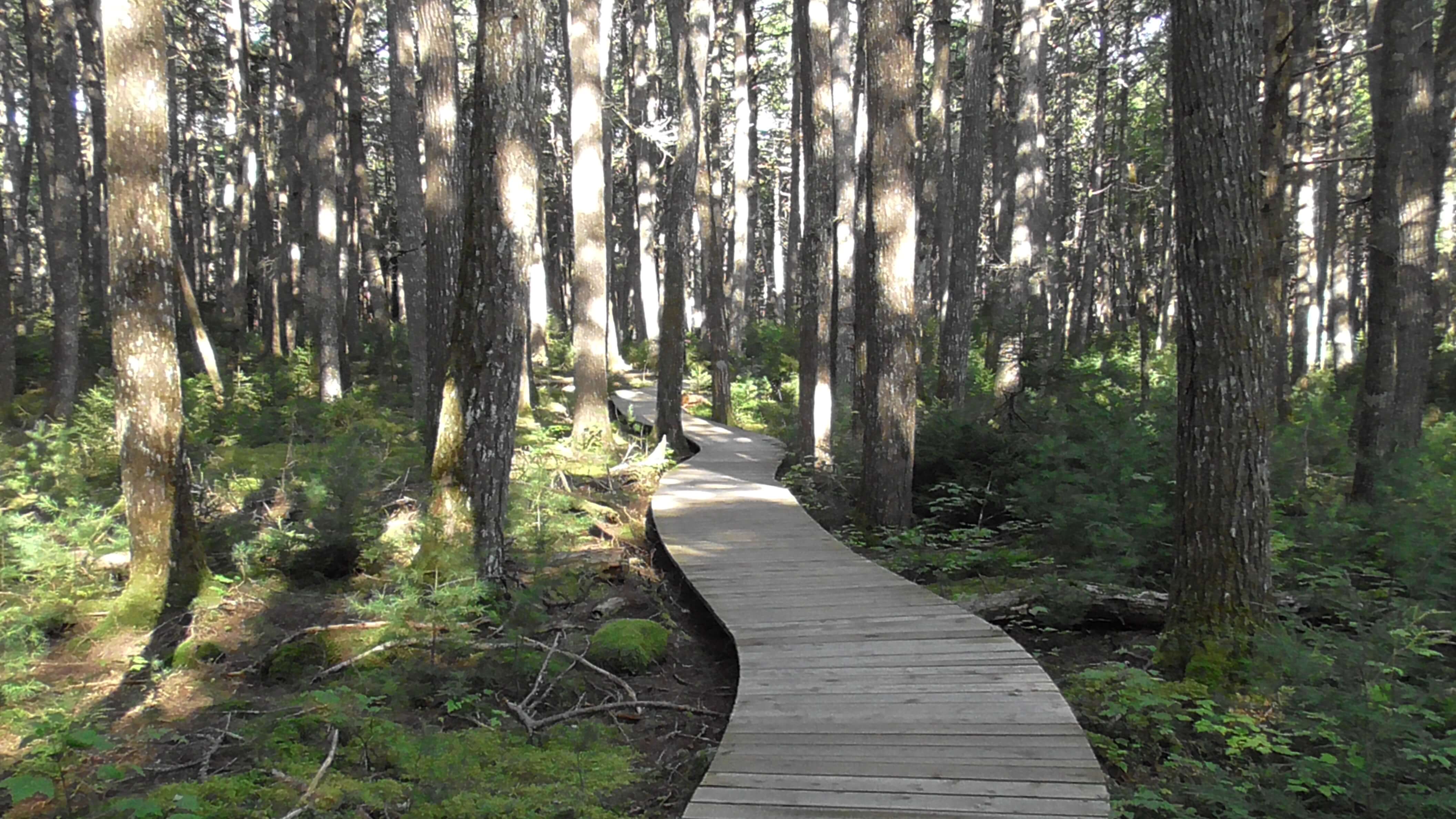
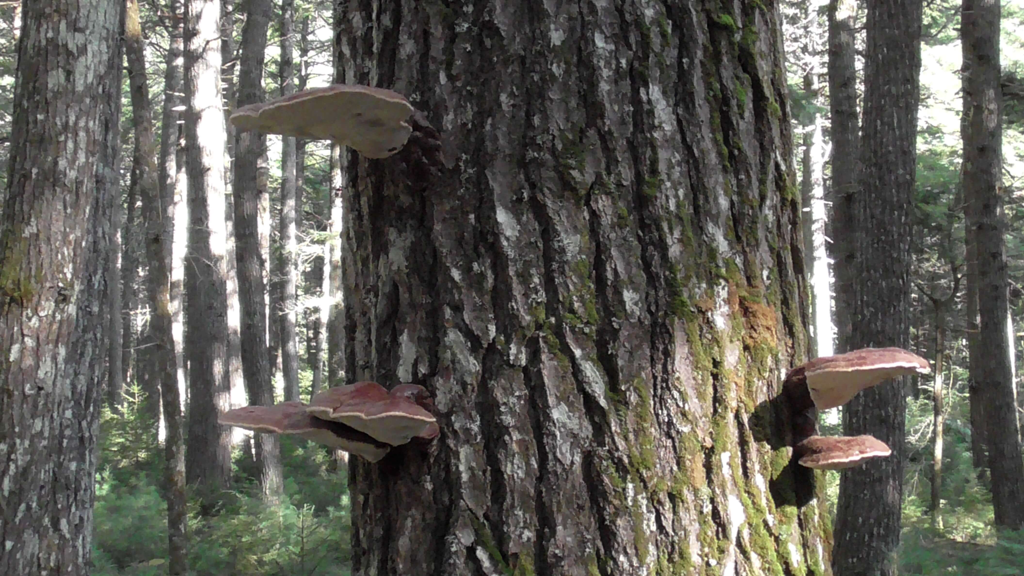
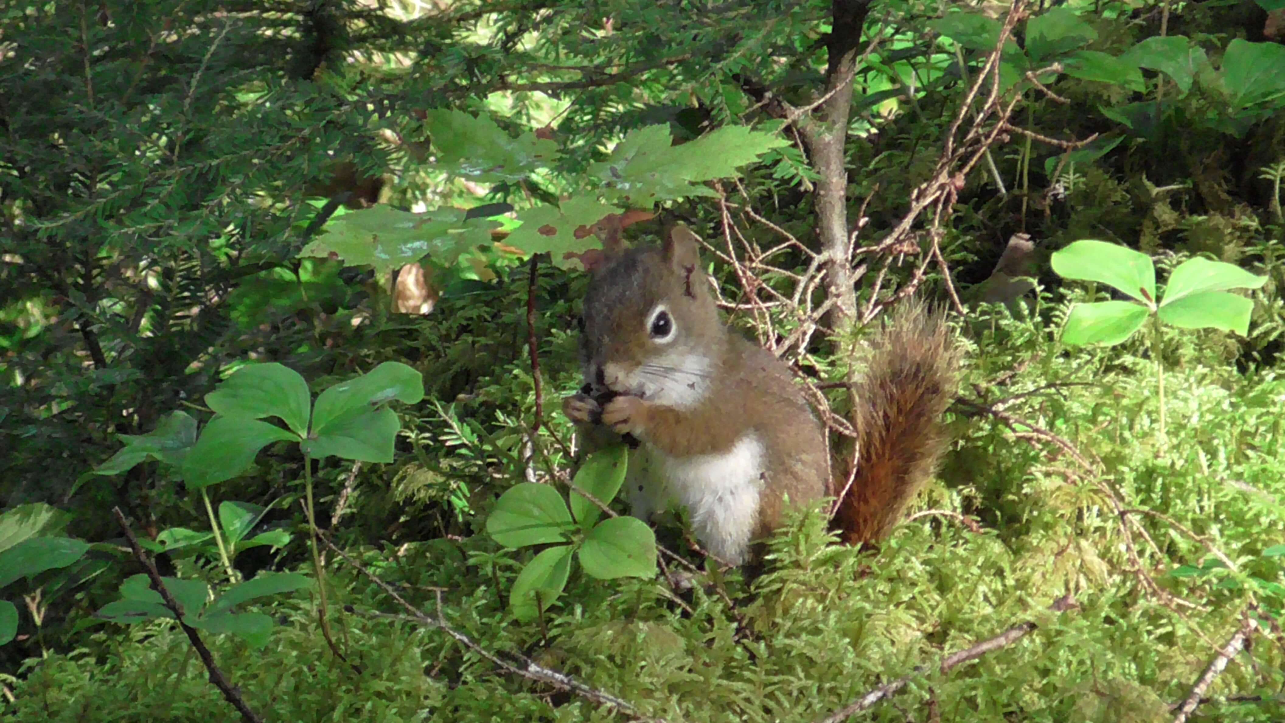
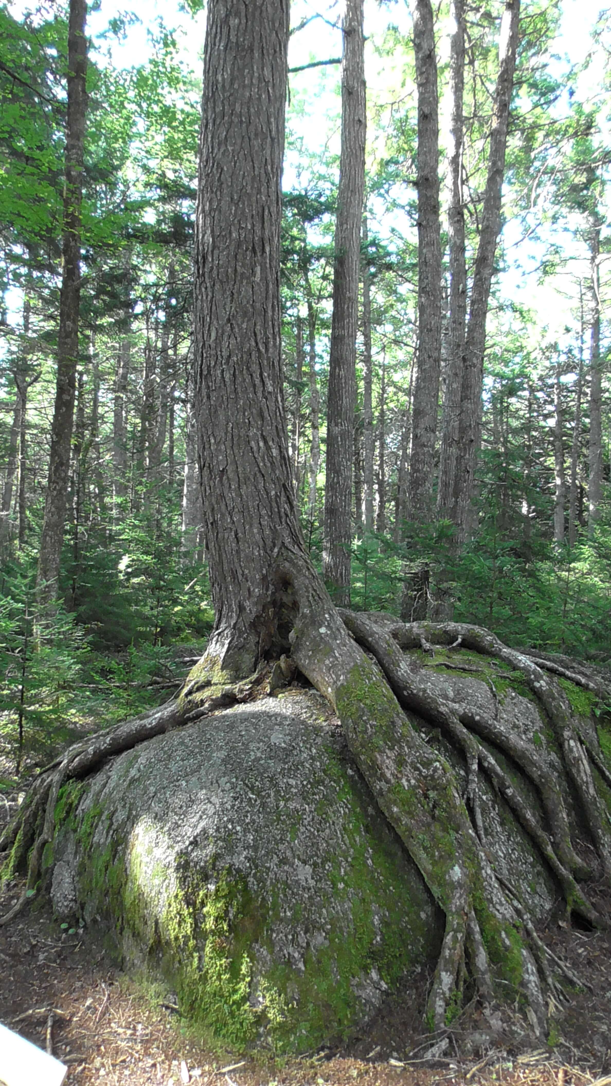
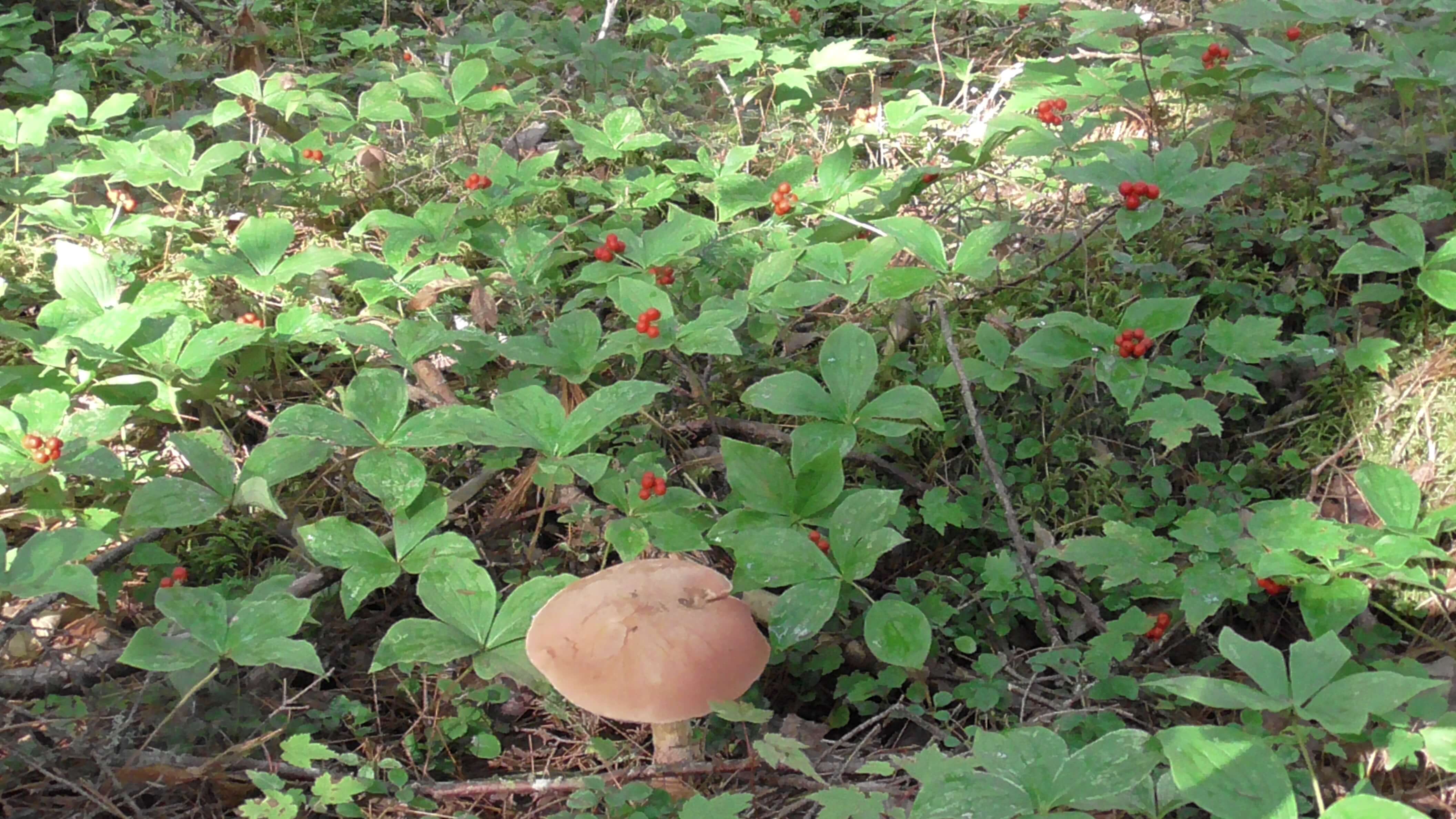
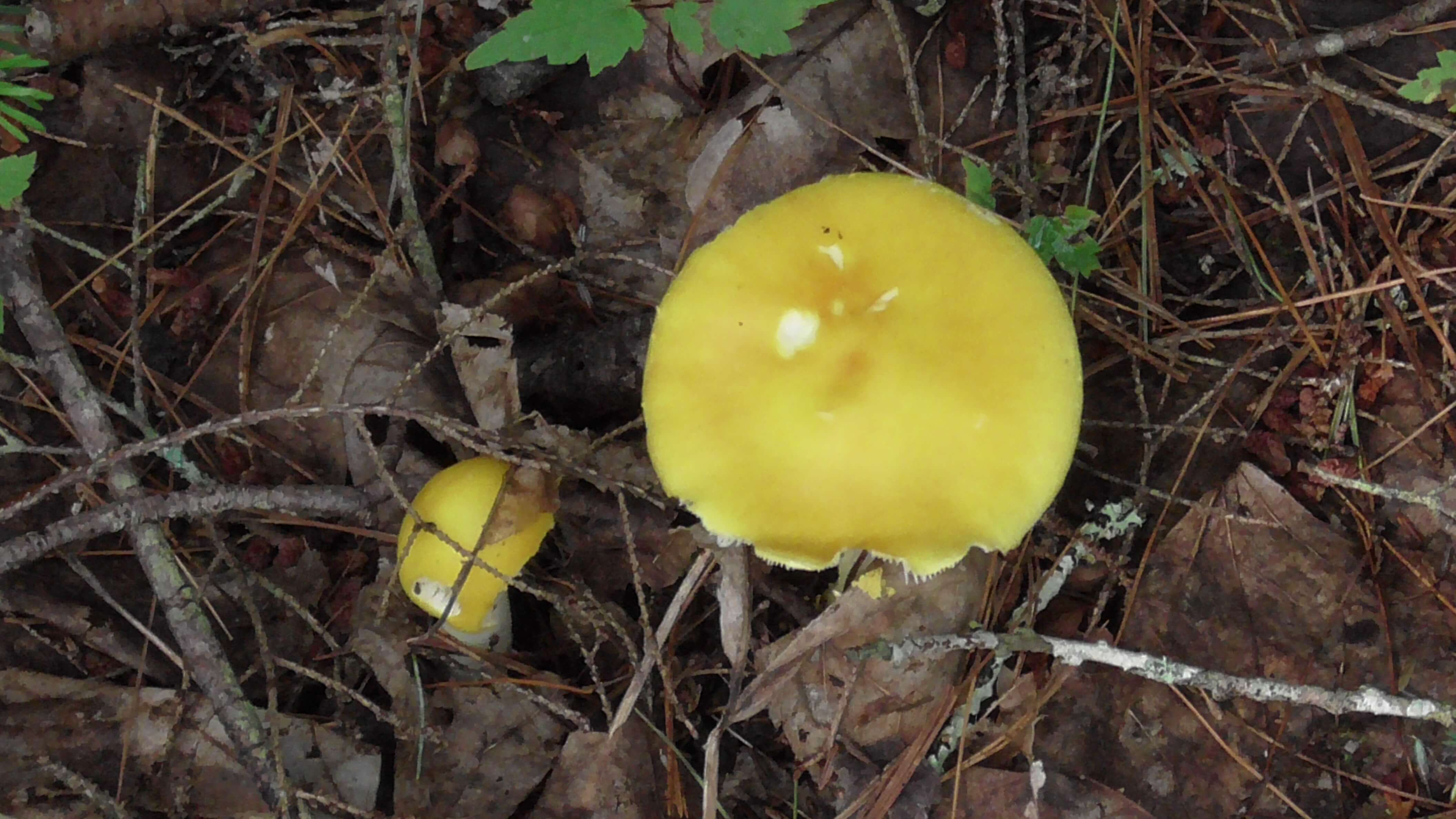
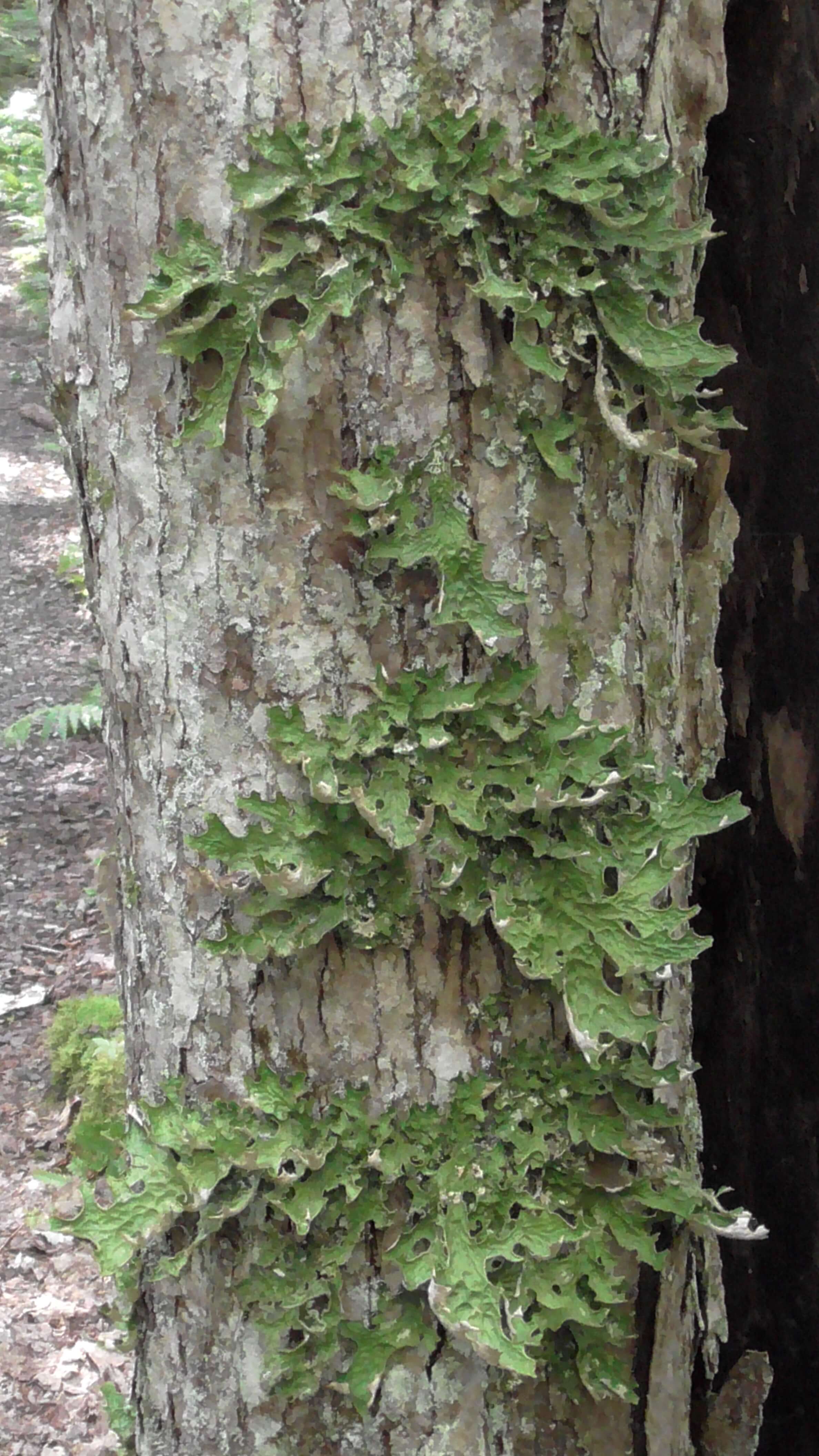
Most of the pictures are from the old growth Hemlock Forest (one hemlock is 400 years old). Dead branches and rotting logs are common on old growth forest floors. A logger would see it as waste but an ecologist would see a biologically, diverse ecosystem. There are probably hundreds of species of mushrooms alone and there is a bird (the ovenbird) specialized in nesting on the forest floor among the ferns.
Geology
Most of the more visible landforms seen in Kejimkujik are a direct result of the last glaciation, which started approximately 100,000 to 80,000 years ago. Drumlins, shallow lakes, streams, rivers and granite boulders are all the result of glacial action. This glacial action was greatly influenced by the bedrock beneath the ice sheets. Most glacial landforms are in areas with slate bedrock, as it is soft and easily eroded.
The bedrock consists of Precambrian to Ordovician period quartzite and slate, plus Devonian period granite.