Down from the High Camp
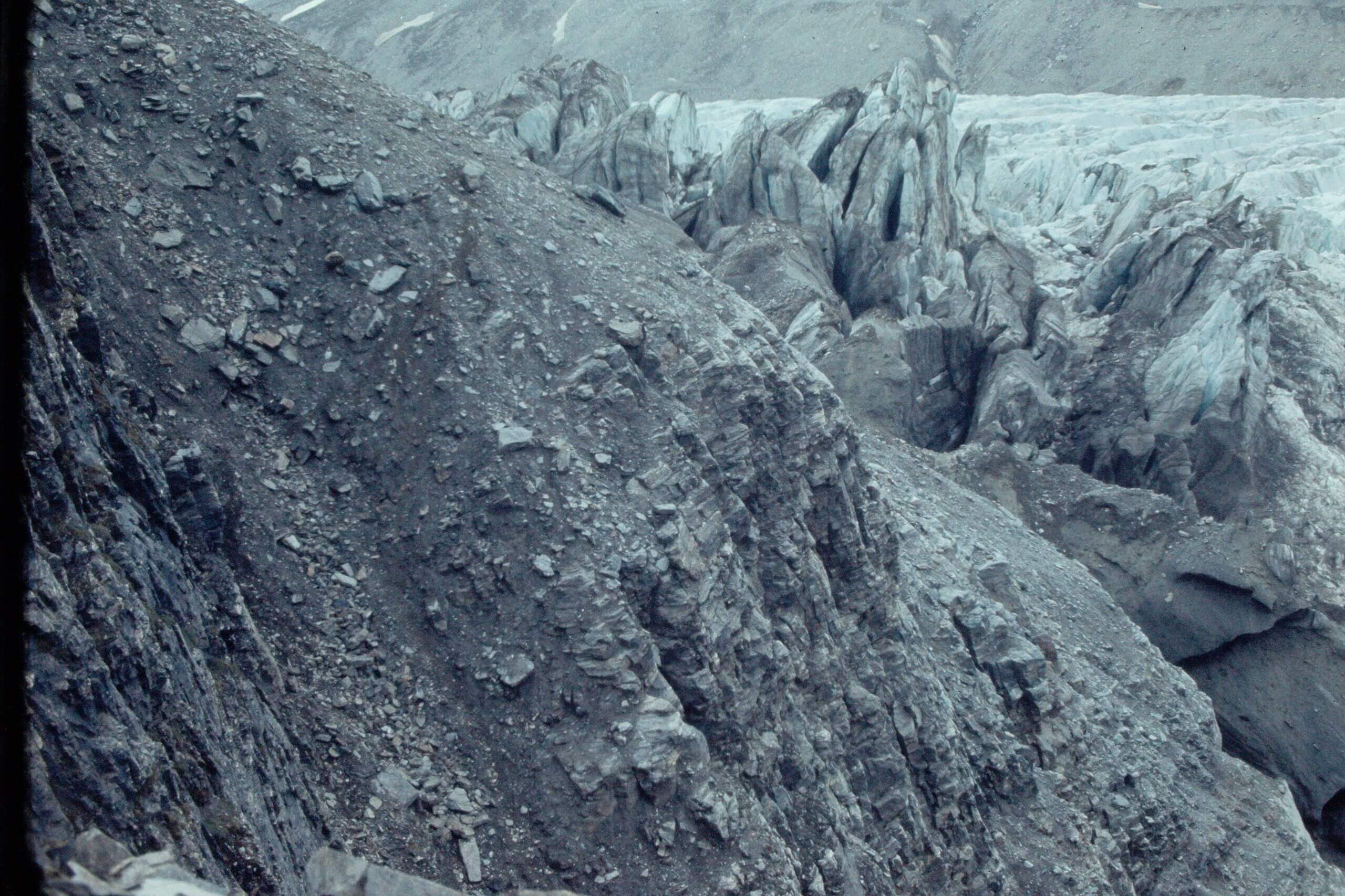
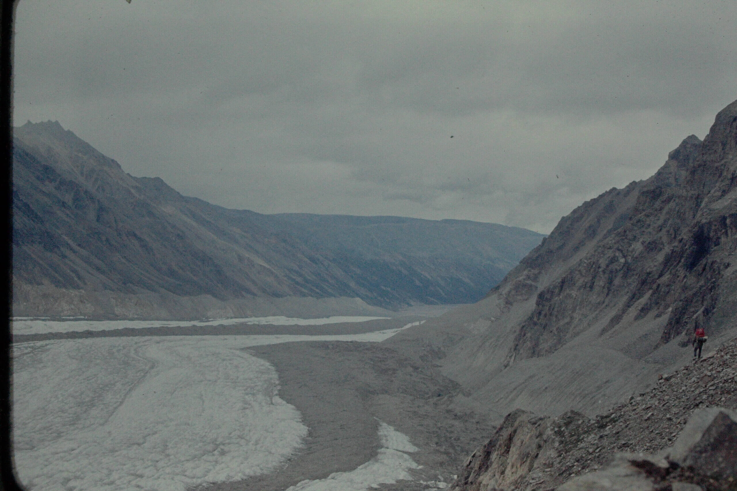
Skirting the glacier on the way down.
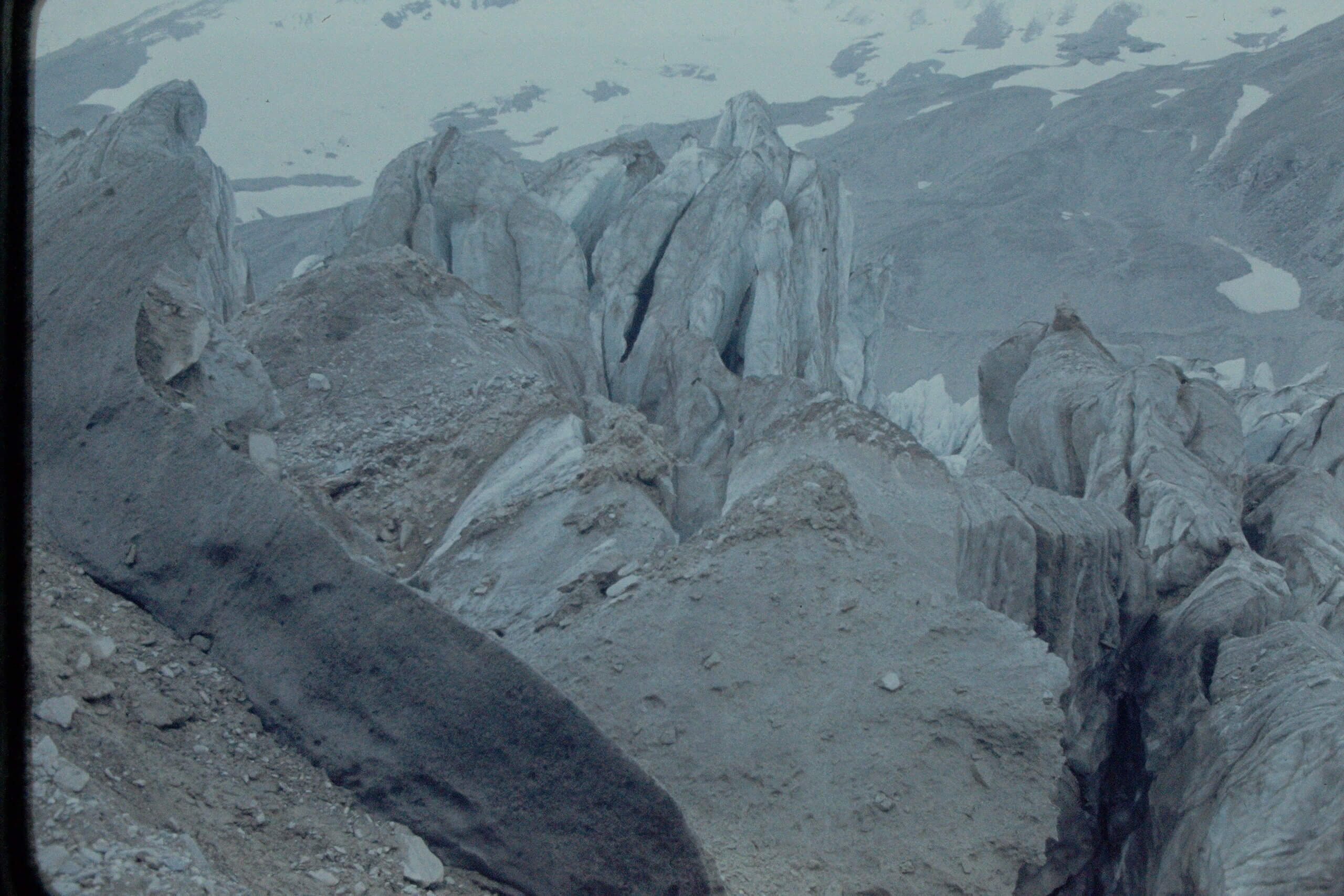
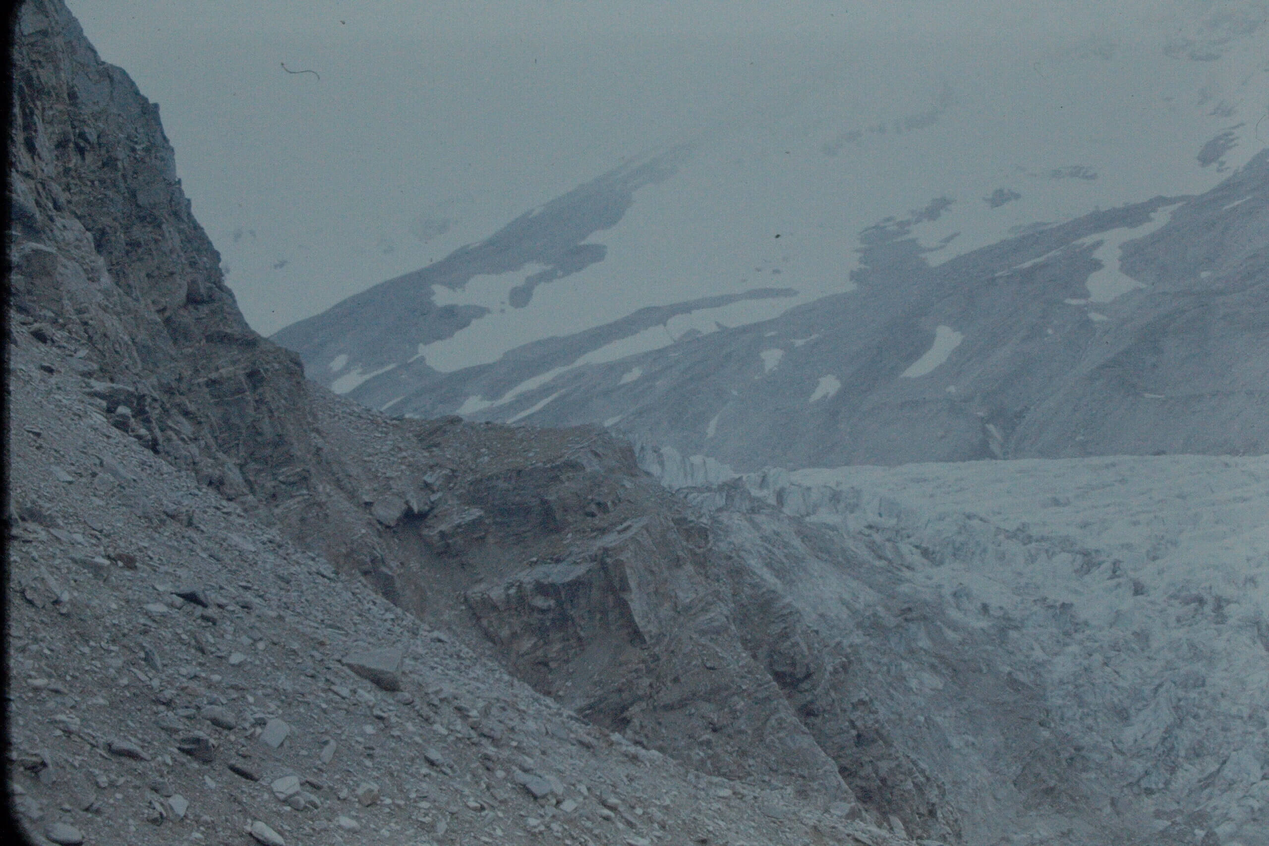
I decided to avoid the icefall on the way down and took us along the mountains east of the glacier. It was possible that we might have to turn back if it got too dangerous but it seemed possible.
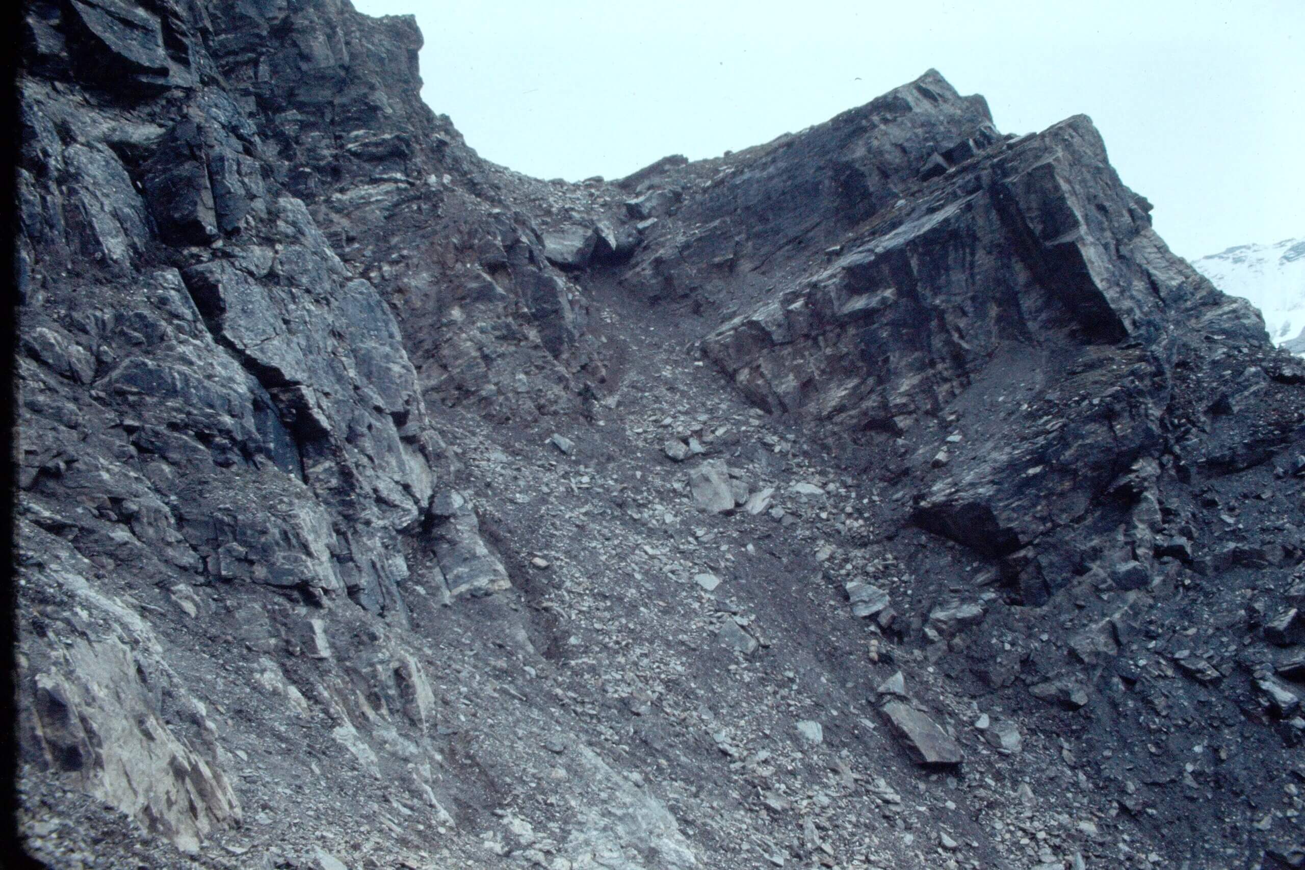
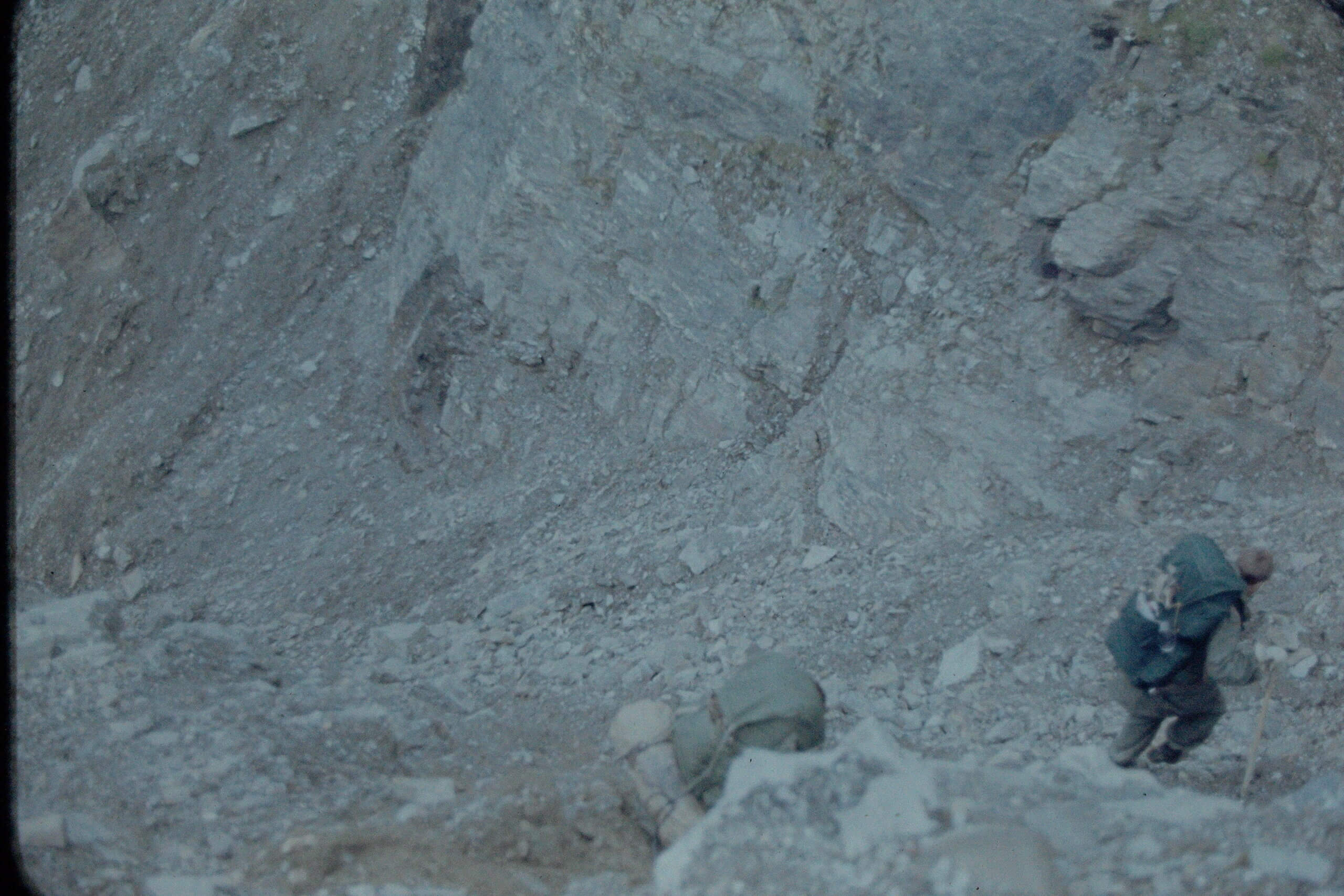
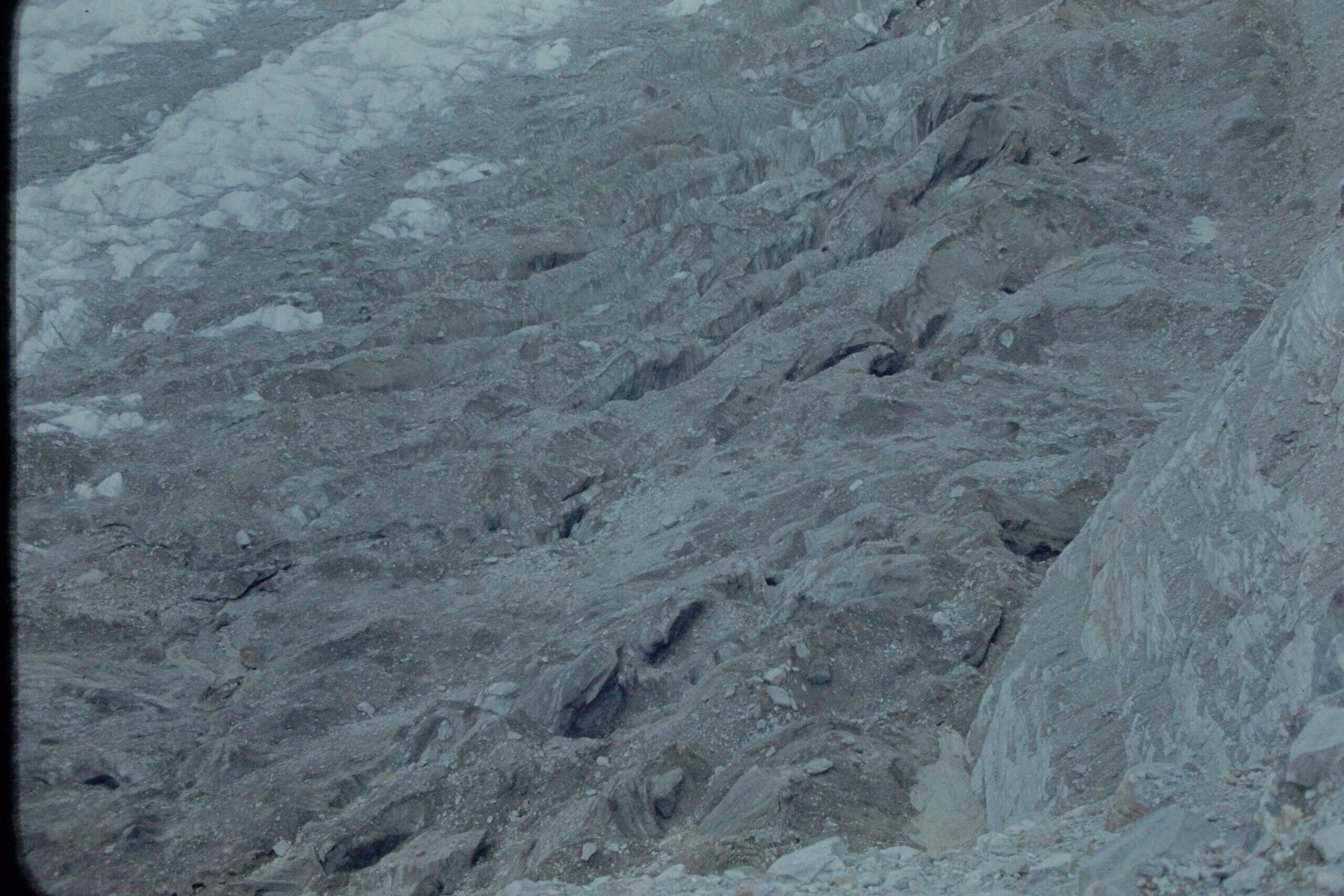
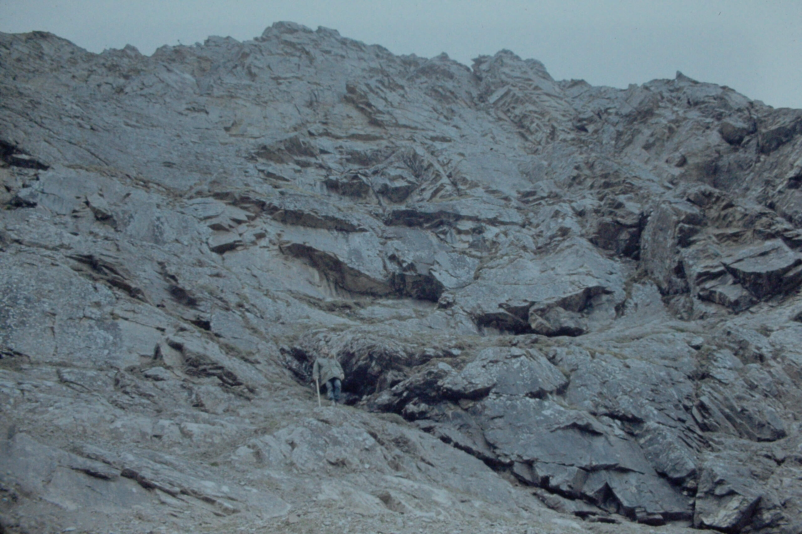
The steepest part of the route was just east of the icefall and we had to squeeze by a tall rock to get down. Below the rock, a steep slope of about a hundred feet lead down to a sharp cliff between us and the glacier. From the top of the cliff to the glacier was about 150 feet straight down. Footing was a little loose at times, which is sometimes challenging with packs on. The chaotic crevassed surface of the icefall with numerous seracs was clearly apparent to our west.
We almost lost one of the packs with the tent on it.
The Pack That Tried To Get Away
With the interesting part of the trip behind us we continued on to our rendezvous point with the pickup vehicle and made 20 miles that day.
At the end of the day, everyone was safe and sound, if a little sore, and ready for a hot shower.
