Craters of the Moon National Monument and Preserve lies in the Snake River Plain in central Idaho at an average elevation of 5,900 feet above sea level. The protected area’s features are volcanic and represent one of the best-preserved flood basalt areas in the continental United States. The area is managed cooperatively by the National Park Service and the BLM.
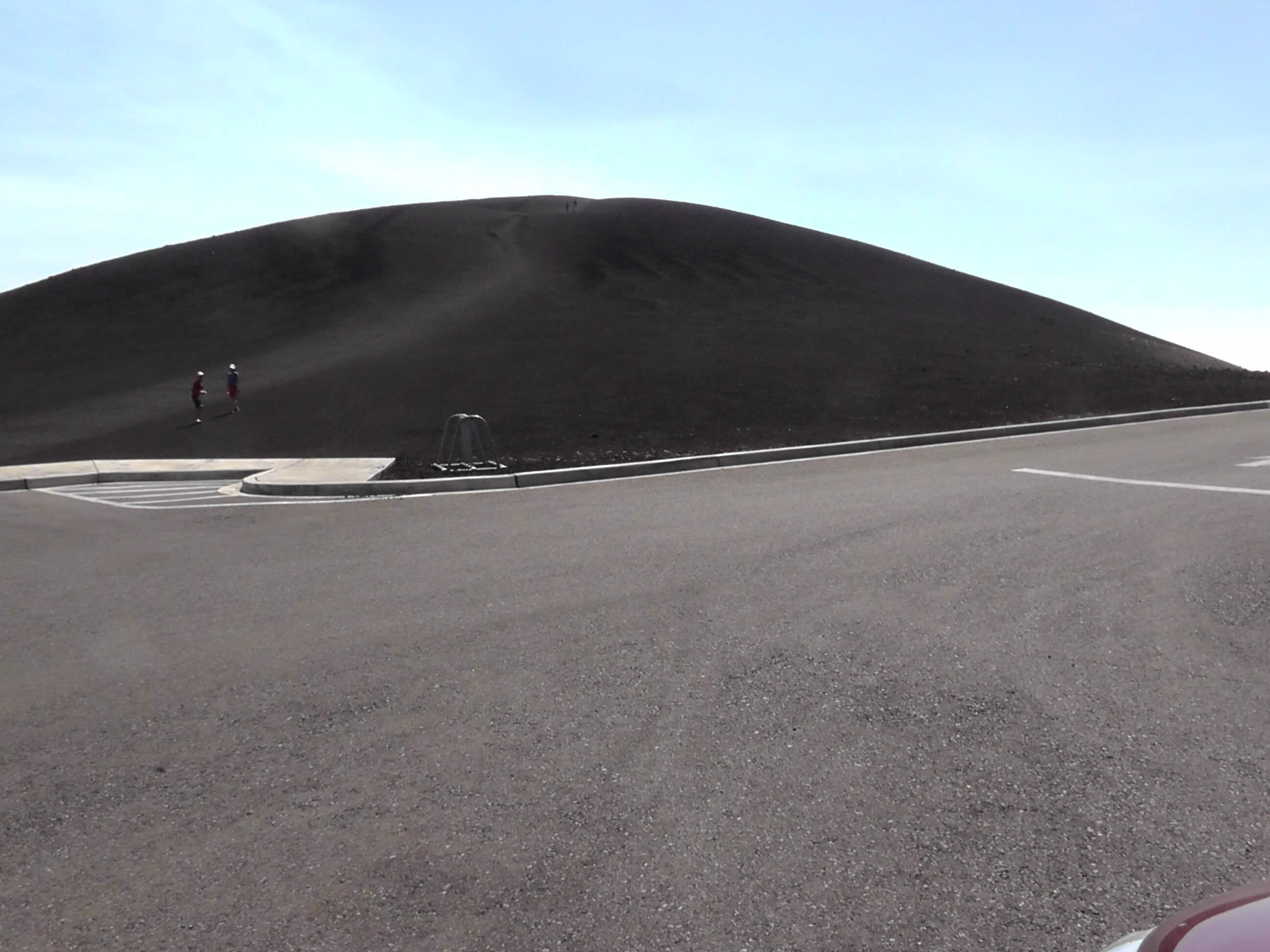
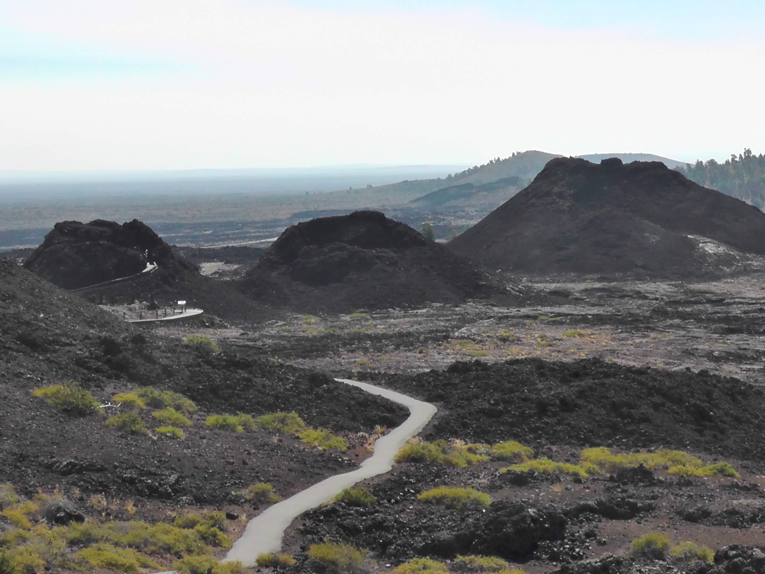
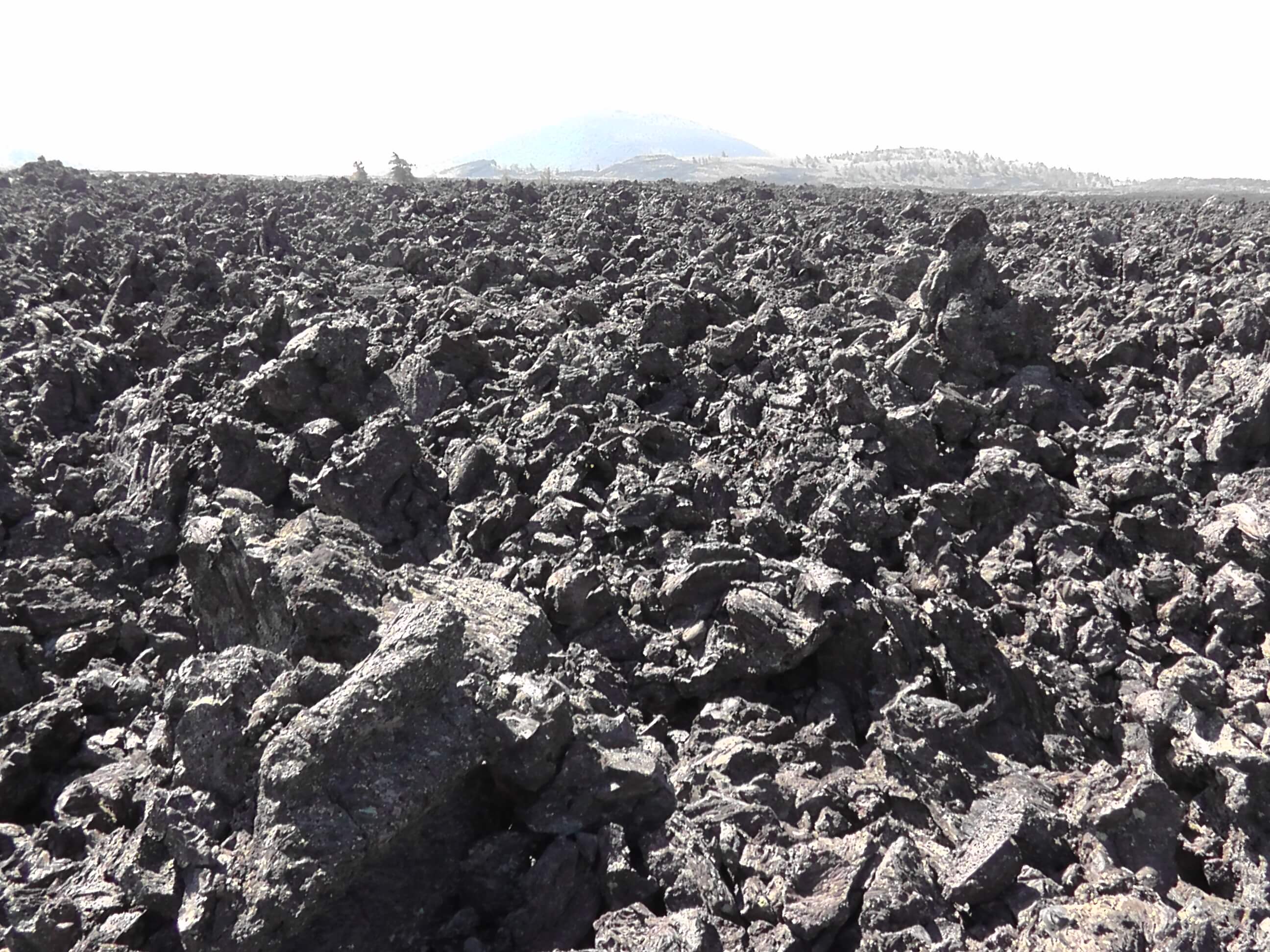
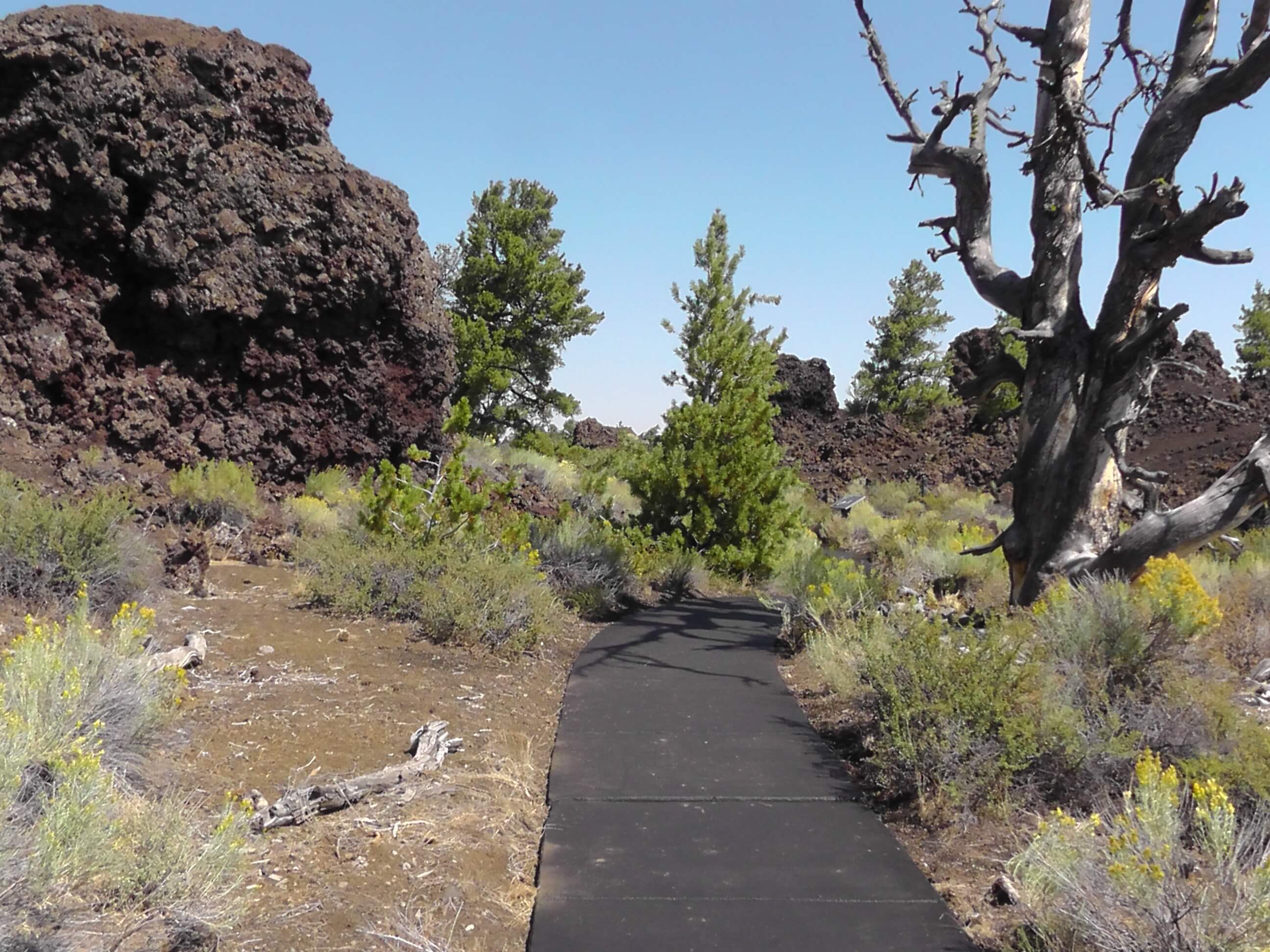
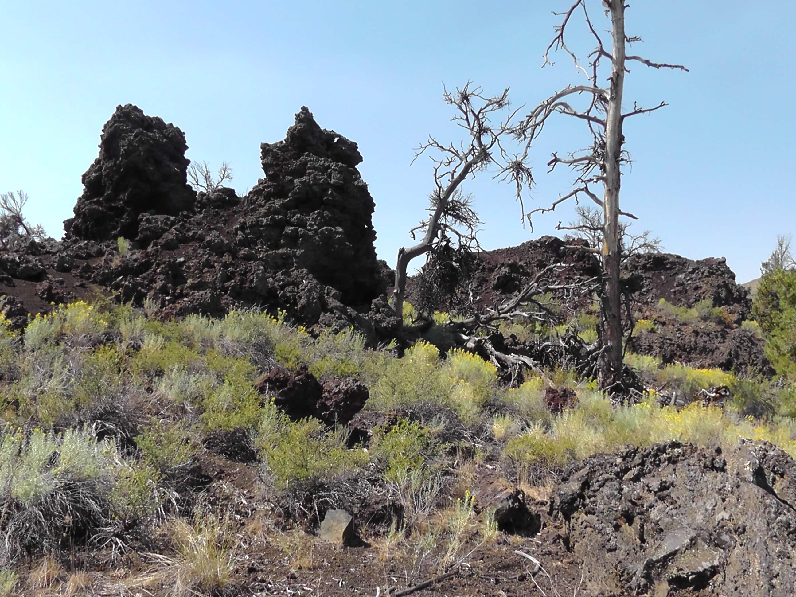
The Monument and Preserve encompass three major lava fields and about 400 square miles of sagebrush steppe grasslands to cover a total area of 1,117 square miles. All three lava fields lie along the Great Rift of Idaho, with some of the best examples of open rift cracks in the world, including the deepest known on Earth at 800 feet. There are excellent examples of almost every variety of basaltic lava as well as tree molds (cavities left by lava-incinerated trees), lava tubes (a type of cave), and many other volcanic features. The oldest flow on the surface is about 15,000 years old and the youngest is about 2,000 years old.
The Craters of the Moon National Monument lies within the Snake River Plain. The Snake River Plain is a geologic feature located primarily within the state of Idaho in the United States. It stretches about 400 miles westward from northwest of the state of Wyoming to the Idaho-Oregon border. The plain is a wide flat bow-shaped depression, and covers about a quarter of Idaho. Three major volcanic buttes dot the plain east of Arco, the largest being Big Southern Butte. Many of Idaho’s major cities are in the Snake River Plain, as is much of its agricultural land.
The eastern part of the Snake River Plain was created by the movement of the North American continent over the Yellowstone hotspot. Yellowstone hotspot and the Idaho Calderas