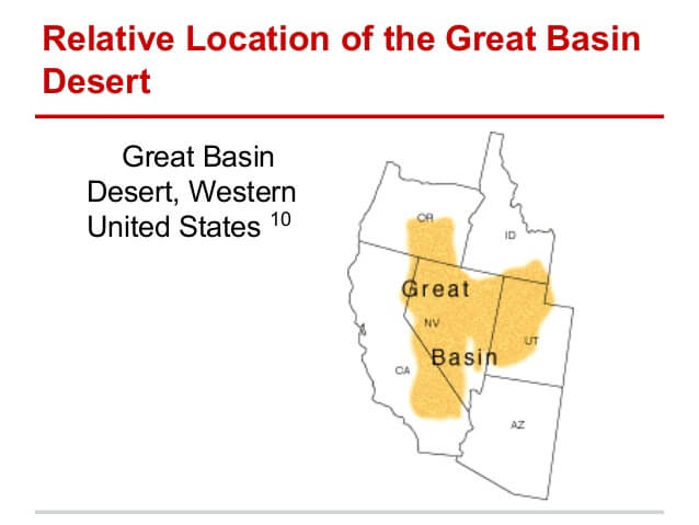
Great Basin
Much of the Great Basin, especially across northern Nevada, consists of a series of isolated mountain ranges and intervening valleys, a geographical configuration known as the Basin and Range Province. Additionally, the Great Basin contains two large expansive playas that are the lakebed remnants of prehistoric lakes that existed in the basin during the last ice age but have since largely dried up. Lake Bonneville extended over most of Western Utah and into Idaho and Nevada, leaving behind the Great Salt Lake, the Bonneville Salt Flats, Utah Lake, and Sevier Lake. Likewise Lake Lahontan extended across much of northwestern Nevada and neighboring states, leaving behind such remnants as the Black Rock Desert, Carson Sink, Humboldt Sink, Walker Lake, Pyramid Lake, Winnemucca Lake, and Honey Lake, each of which now forms a separate watershed within the basin.
The Basin and Range Province’s dynamic fault history has profoundly affected the region’s water drainage system. Most precipitation in the Great Basin falls in the form of snow that melts in the spring. Rain that reaches the ground, or snow that melts, quickly evaporates in the dry desert environment. Some of the water that does not evaporate sinks into the ground to become ground water. The remaining water flows into streams and collects in short-lived lakes called playas on the valley floor and eventually evaporates. Any water that falls as rain or snow into this region does not leave it; not one of the streams that originate within this basin ever finds an outlet to the ocean. The extent of internal drainage, the area in which surface water cannot reach the ocean, defines the geographic region called the Great Basin. Return to Great Basin