Great Sand Dunes National Park
Modified From Wikipedia:
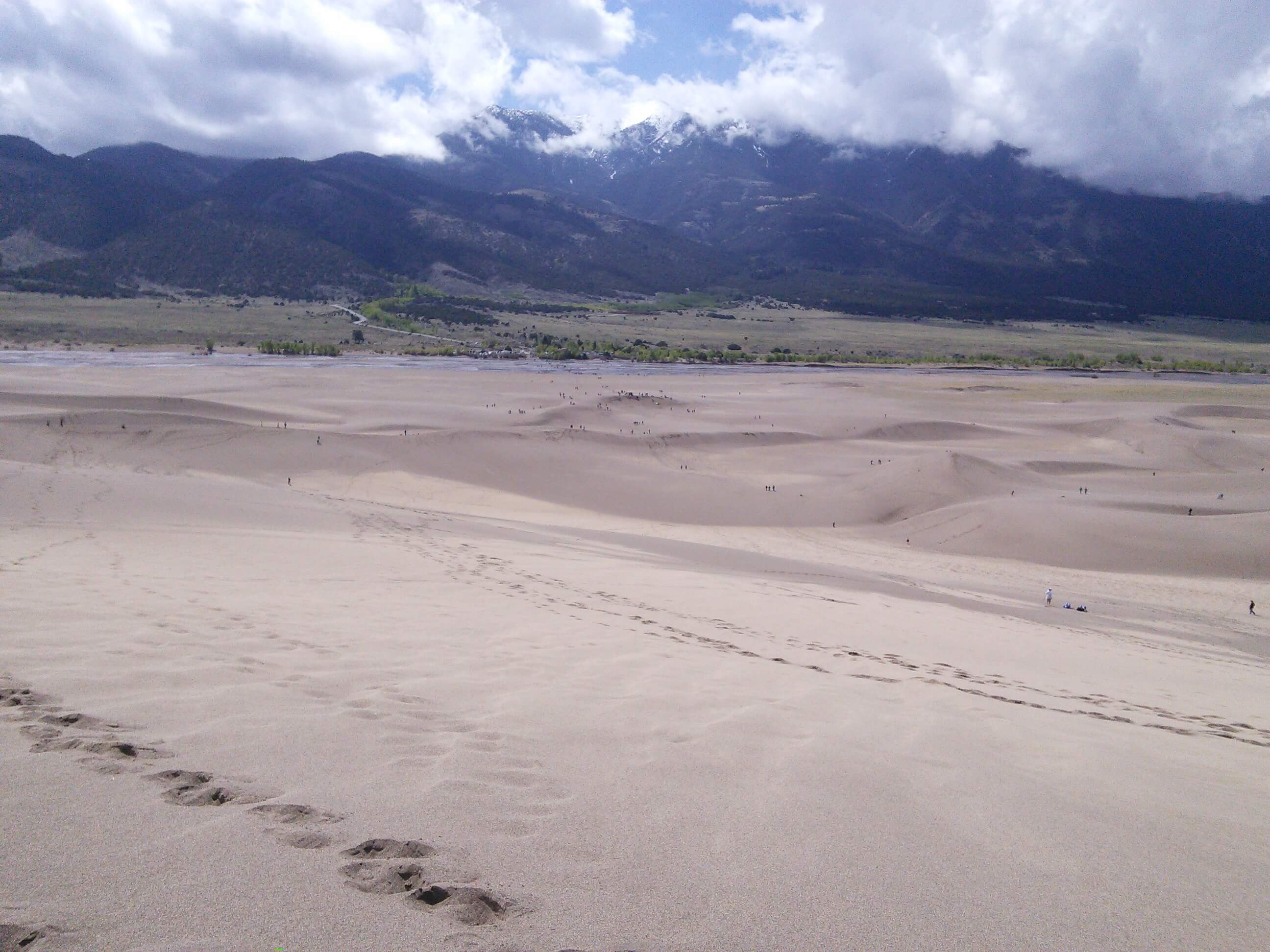
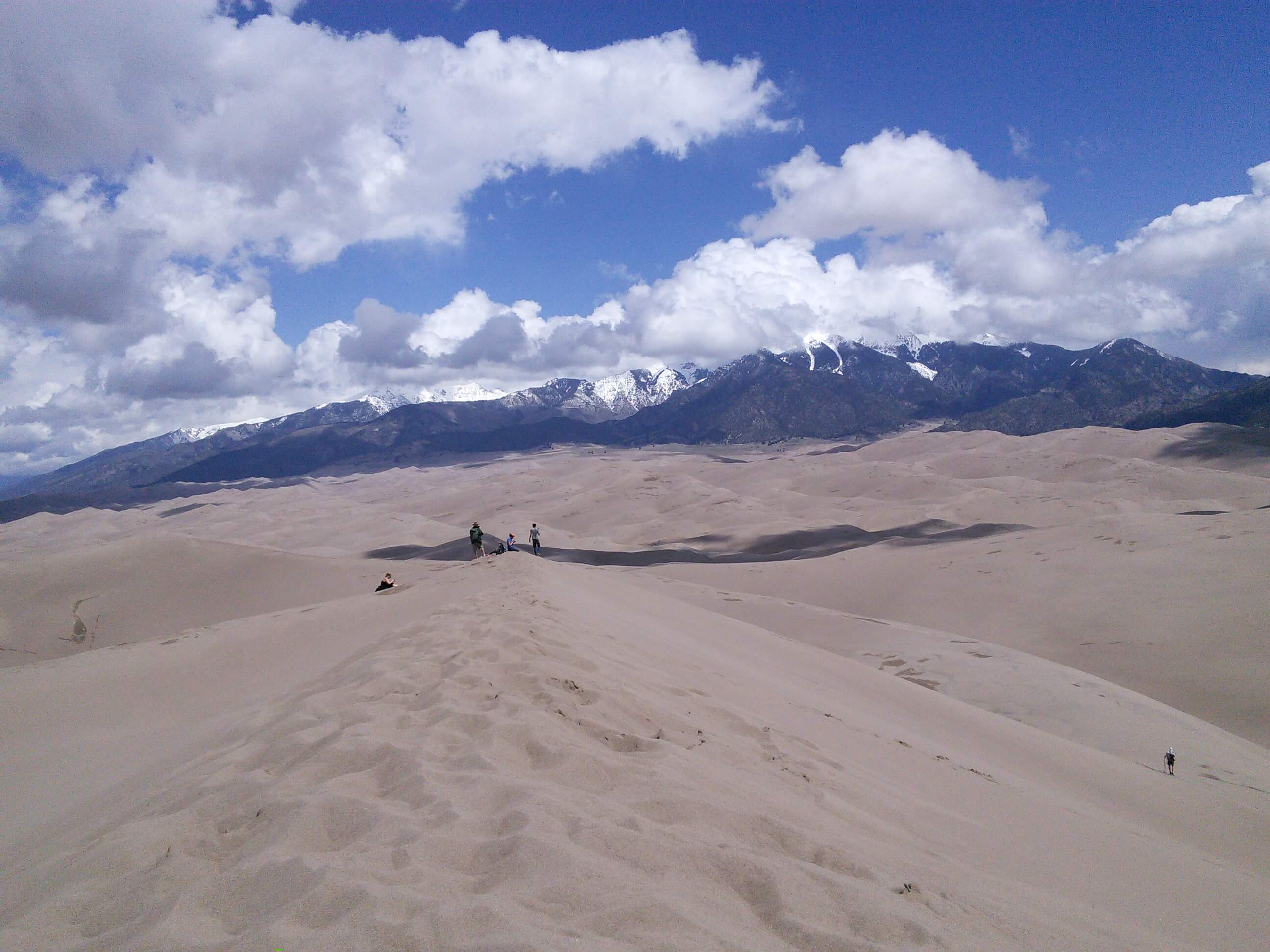
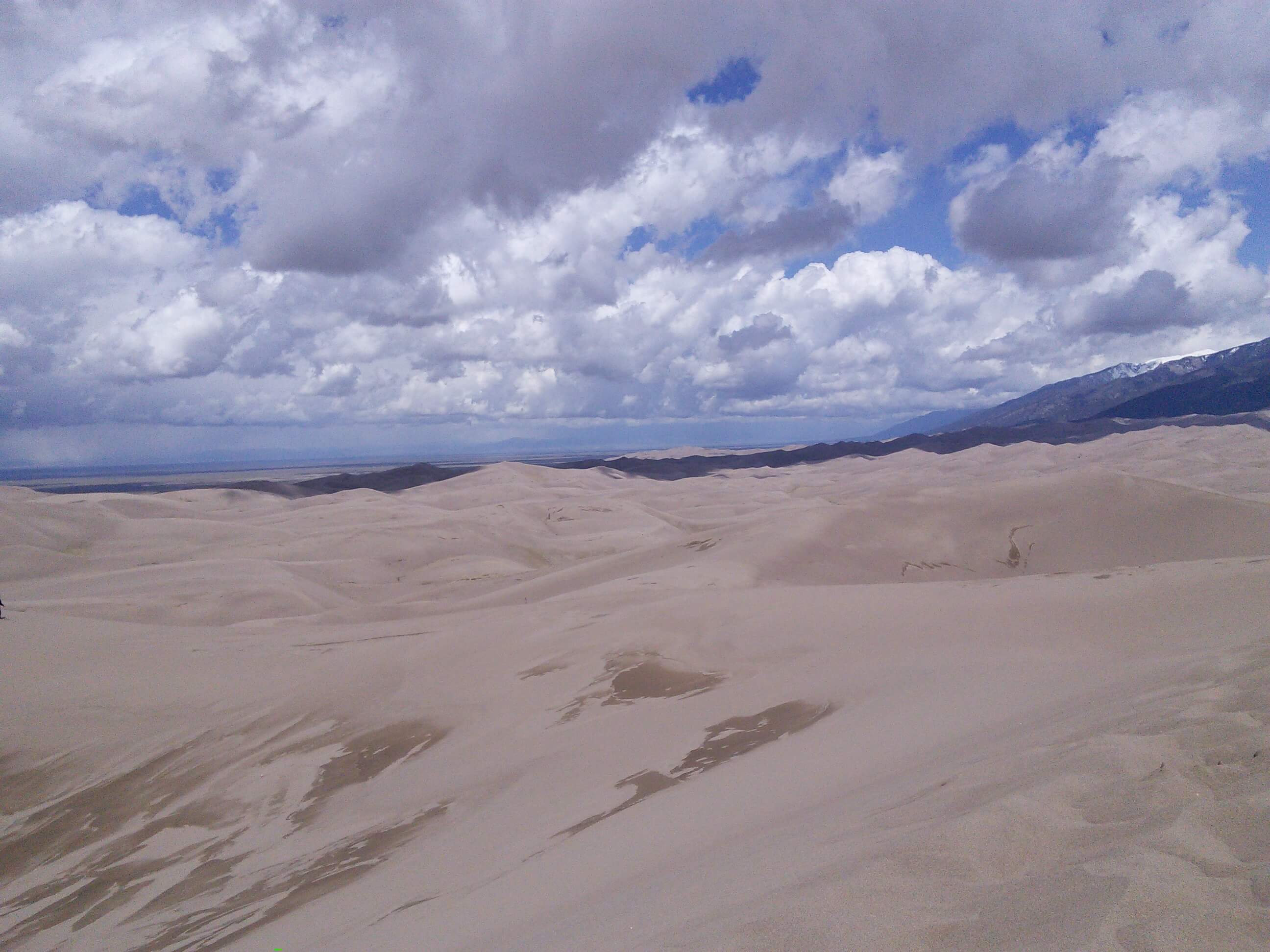
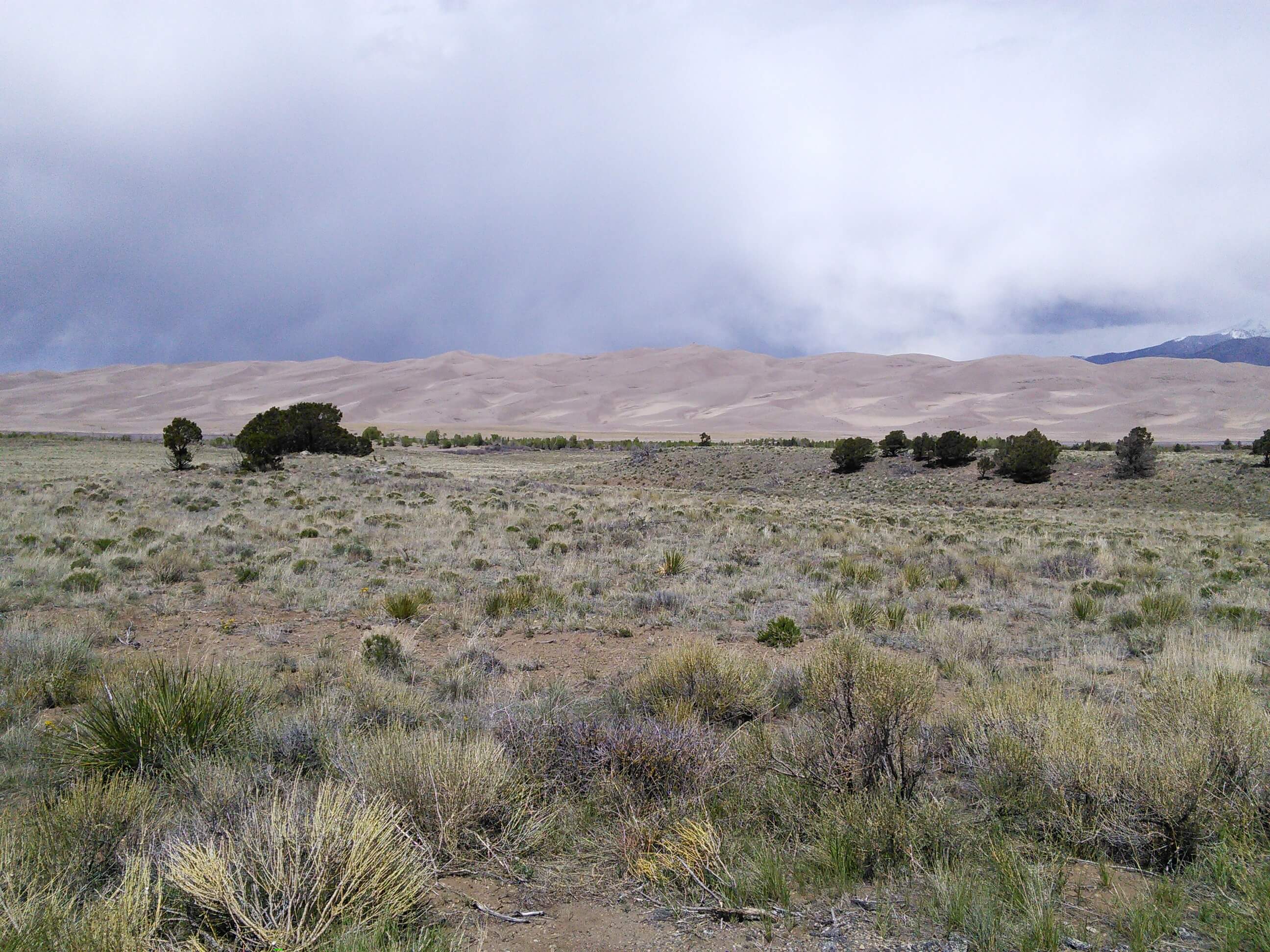
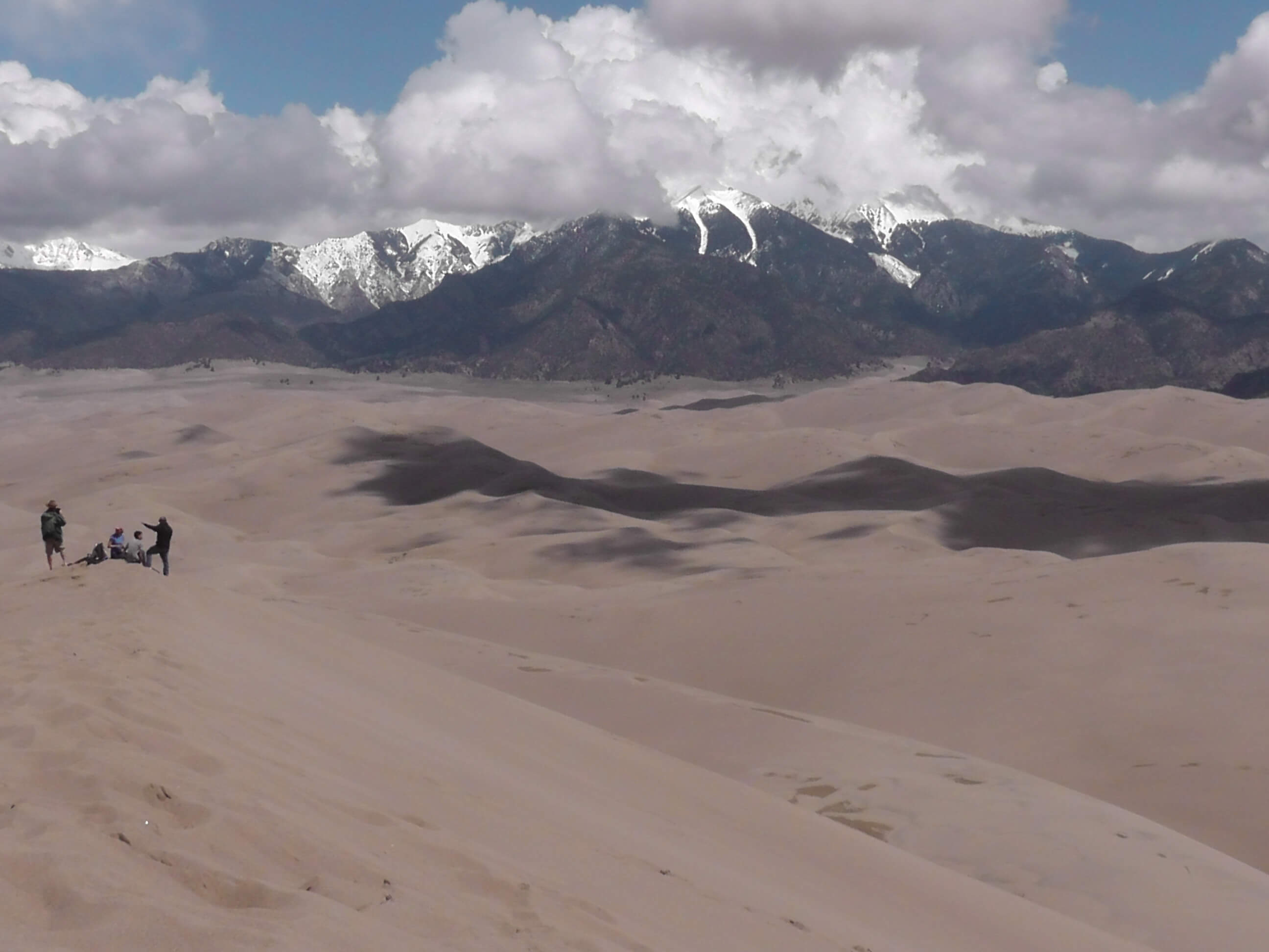
Great Sand Dunes National Park contains the tallest sand dunes in North America, rising about 750 feet (230 m) from the floor of the San Luis Valley on the western base of the Sangre de Cristo Range, covering about 19,000 acres (7,700 ha). Researchers say that the dunes started forming less than 440,000 years ago.
The dunes were formed from sand and soil deposits of the Rio Grande and its tributaries, flowing through the San Luis Valley. Over the ages, glaciers feeding the river and the vast lake that existed upon the valley melted, and the waters evaporated. Westerly winds picked up sand particles from the lake and river flood plain. As the wind lost power before crossing the Sangre de Cristo Range, the sand was deposited on the east edge of the valley. This process continues, and the dunes are slowly growing. The wind changes the shape of the dunes daily.
There are several streams flowing on the perimeter of the dunes. The streams erode the edge of the dune field, and sand is carried downstream. The water disappears into the ground, depositing sand on the surface. Winds pick up the deposits of sand, and blow them up onto the dune field once again.
Digging a couple inches into the dunes even at their peaks reveals wet sand. Part of the motivation of turning the Monument into a National Park was the extra protection of the water, which Colorado’s cities and agriculture covet.
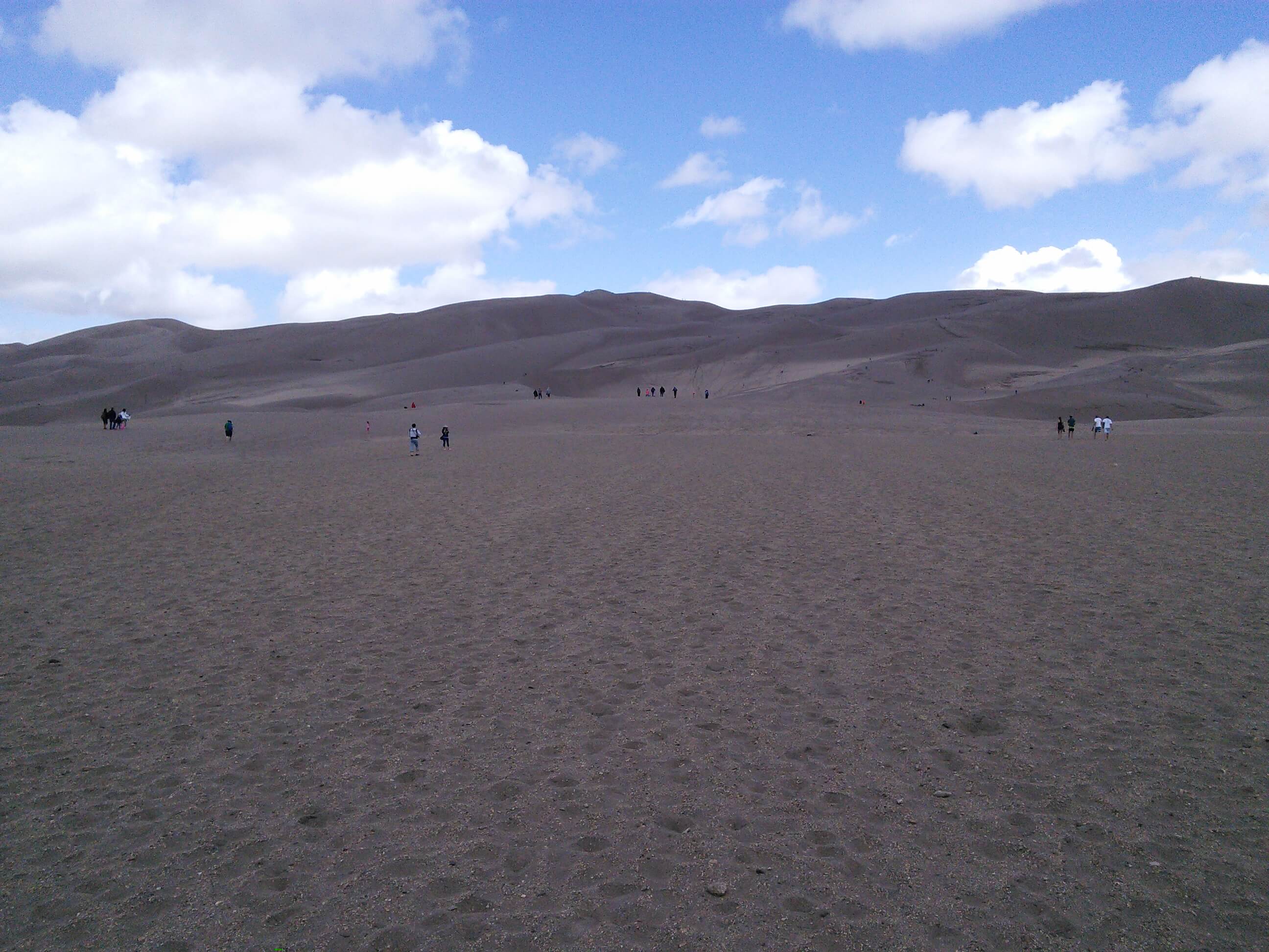
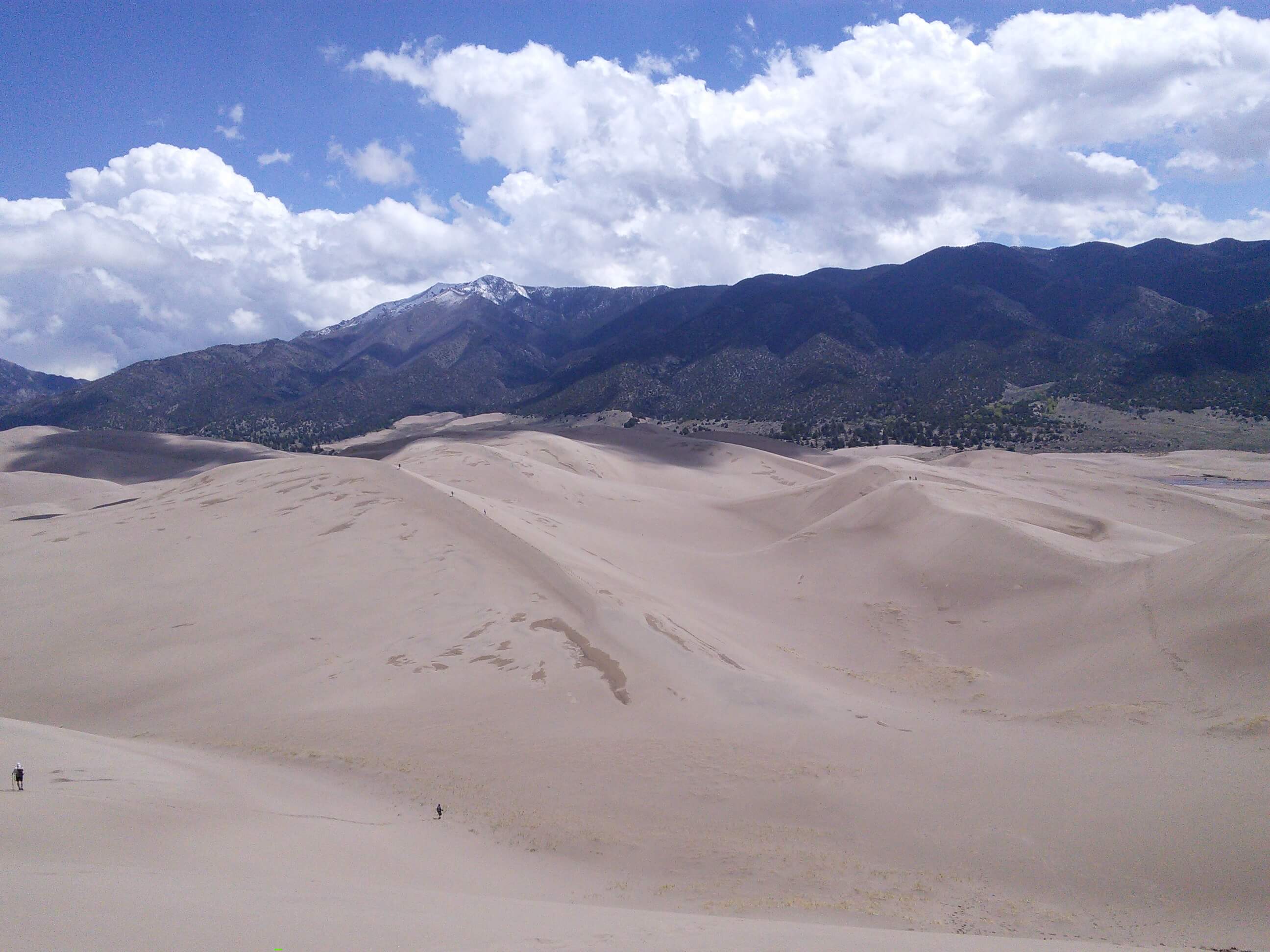
It is very easy to experience the dune-building process. This is a very windy region, as hikers on the Sand Dunes will attest, as on many days they will be pelted by sand and even small rocks when hiking on the dunes. The wind carries sand and rocks from many miles away. While the dunes don’t change location or size that often, there are still parabolic dunes that start in the sand sheet, the outer area around the dunes, and migrate towards the main dune field. Sometimes they join the main dune field, and sometimes they will get covered with grass and vegetation and remain where they are. The dunes are relatively stable, however their morphology changes slightly with the seasons. The direction of the wind greatly affects the dune type. The winds normally go from southwest to northeast, however during the late summer months, the wind direction reverses causing reversing dunes. This wind regime is part of the reason why the dunes are so tall.
(end of Wikipedia section).
——————————————————————————-
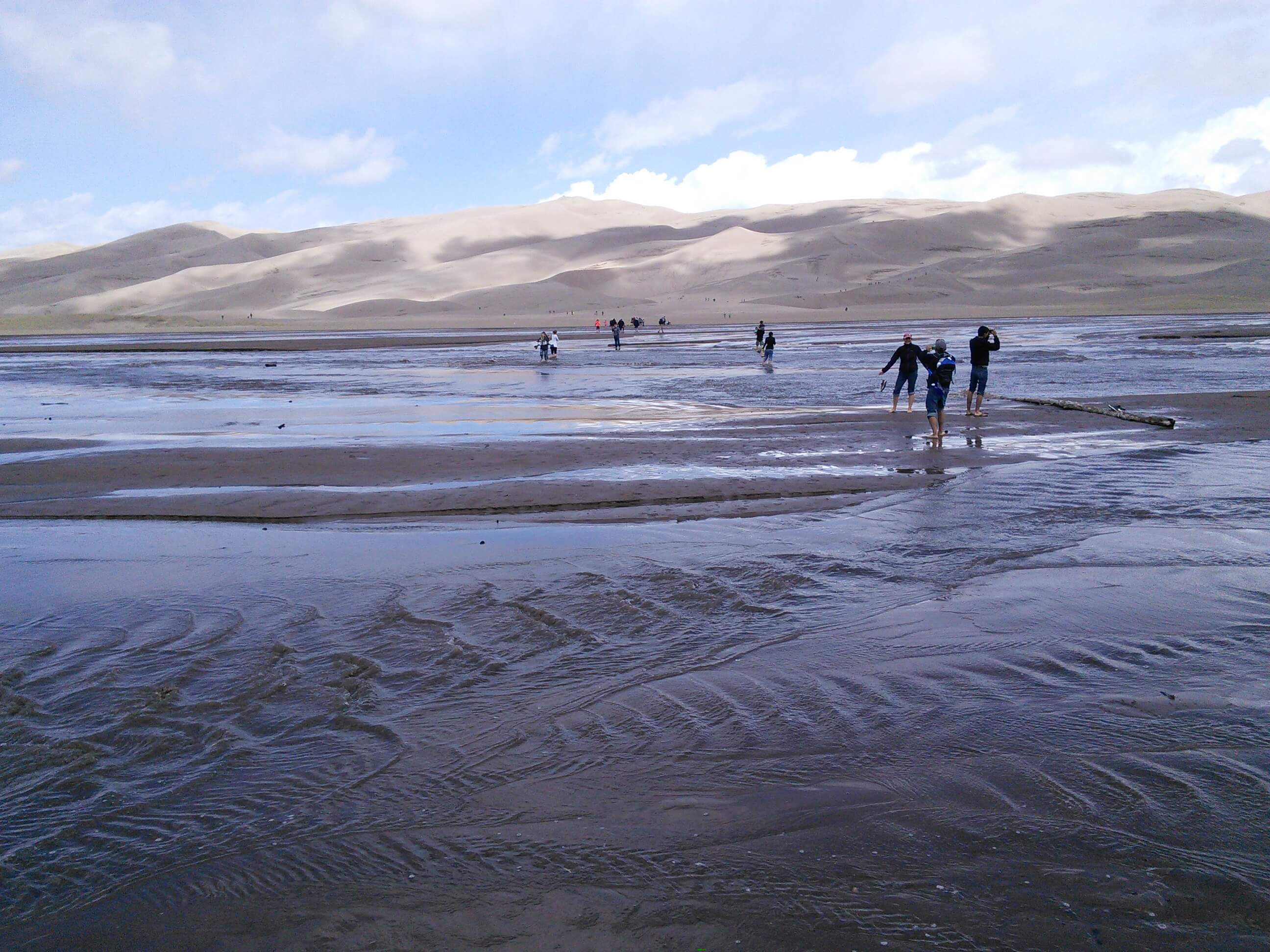
Getting these pictures caused some huffing and puffing. You start at an altitude of 8,200 feet, where the air is thin, and you climb up 700 feet. Also, when you climb up a dune, you slide half a step back for every step up. The walk was a 2.5 mile round trip. Just to make it a little more interesting, you wade through an icy shallow river at the start and the end. The flow in the stream is very interesting. At only a few places in the world can one experience “surge flow”, a stream flowing in rhythmic waves. Three elements are needed to produce the phenomenon: a steep enough grade to give the stream a higher velocity; a smooth, mobile surface with little resistance; and sufficient water to create surges. As water flows across sand, sand dams or ‘antidunes’ form, gathering water. When the water pressure is too great, the dams break, sending down a wave. It’s obvious when you walk across. Apparently, it can make waves a foot high in the spring.