Capitol Reef National Park
Modified From Wikipedia:
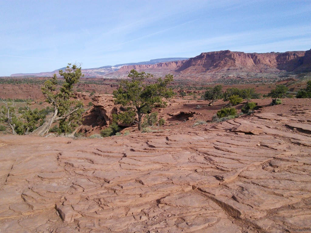
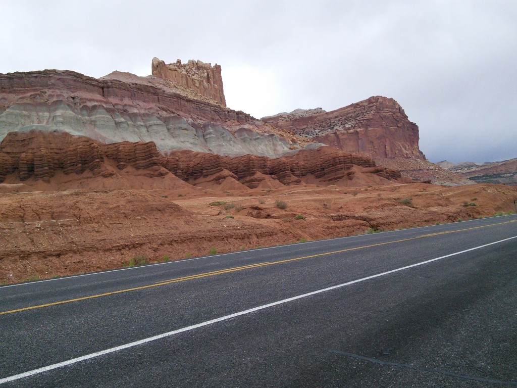
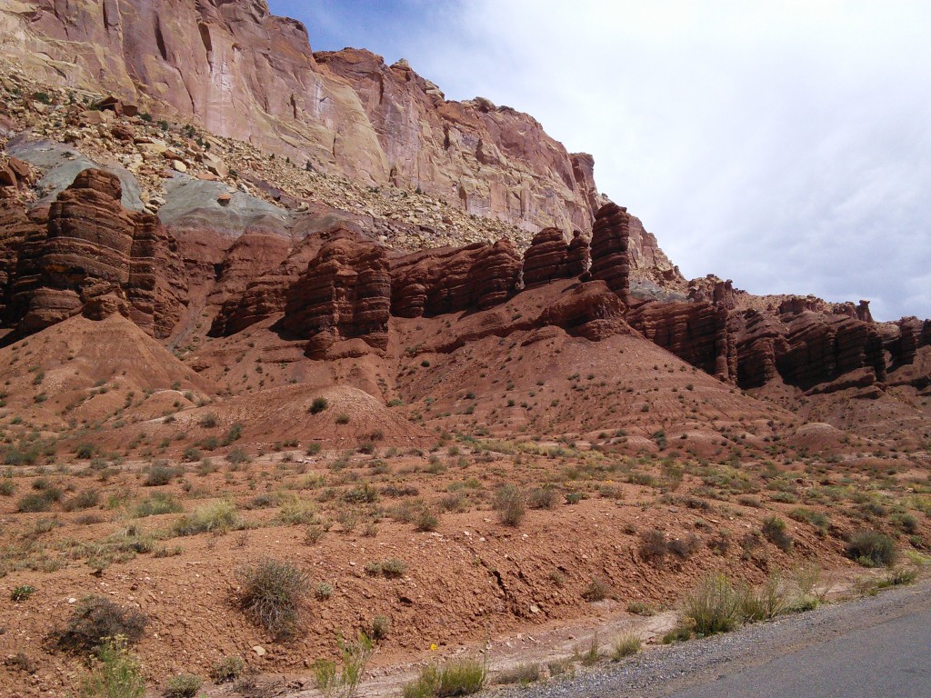
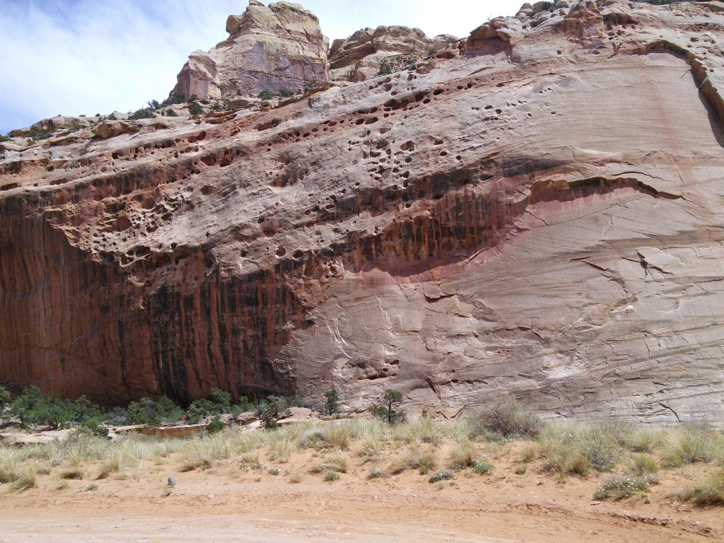
Capitol Reef encompasses the Waterpocket Fold, a warp in the earth’s crust that is 65 million years old. It is the largest exposed monocline in North America. In this fold, newer and older layers of earth folded over each other in an S-shape. This warp, probably caused by the same colliding continental plates that created the Rocky Mountains, has weathered and eroded over millennia to expose layers of rock and fossils. The park is filled with brilliantly colored sandstone cliffs, gleaming white domes, and contrasting layers of stone and earth.
The area was named for a line of white domes and cliffs of Navajo Sandstone, each of which looks somewhat like the United States Capitol building, that run from the Fremont River to Pleasant Creek on the Waterpocket Fold.
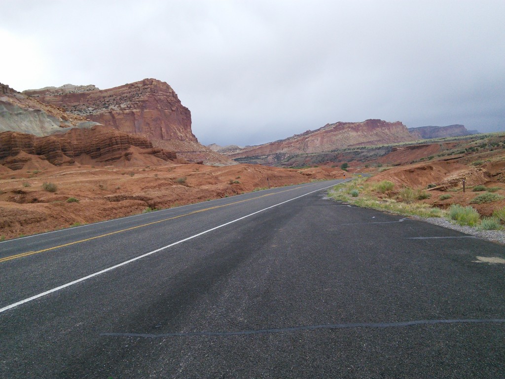
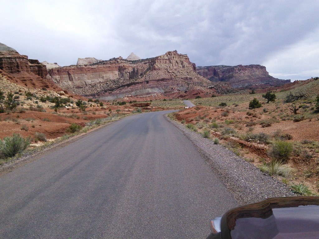
The fold forms a north-to-south barrier that even today has barely been breached by roads. Early settlers referred to parallel, impassable ridges as “reefs”, from which the park gets the second half of its name. The first paved road was constructed through the area in 1962. Today, State Route 24 cuts through the park traveling east and west between Canyonlands National Park and Bryce Canyon National Park, but few other paved roads invade the rugged landscape.
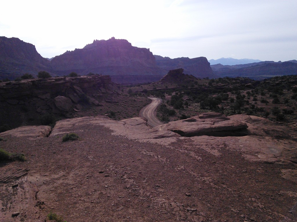
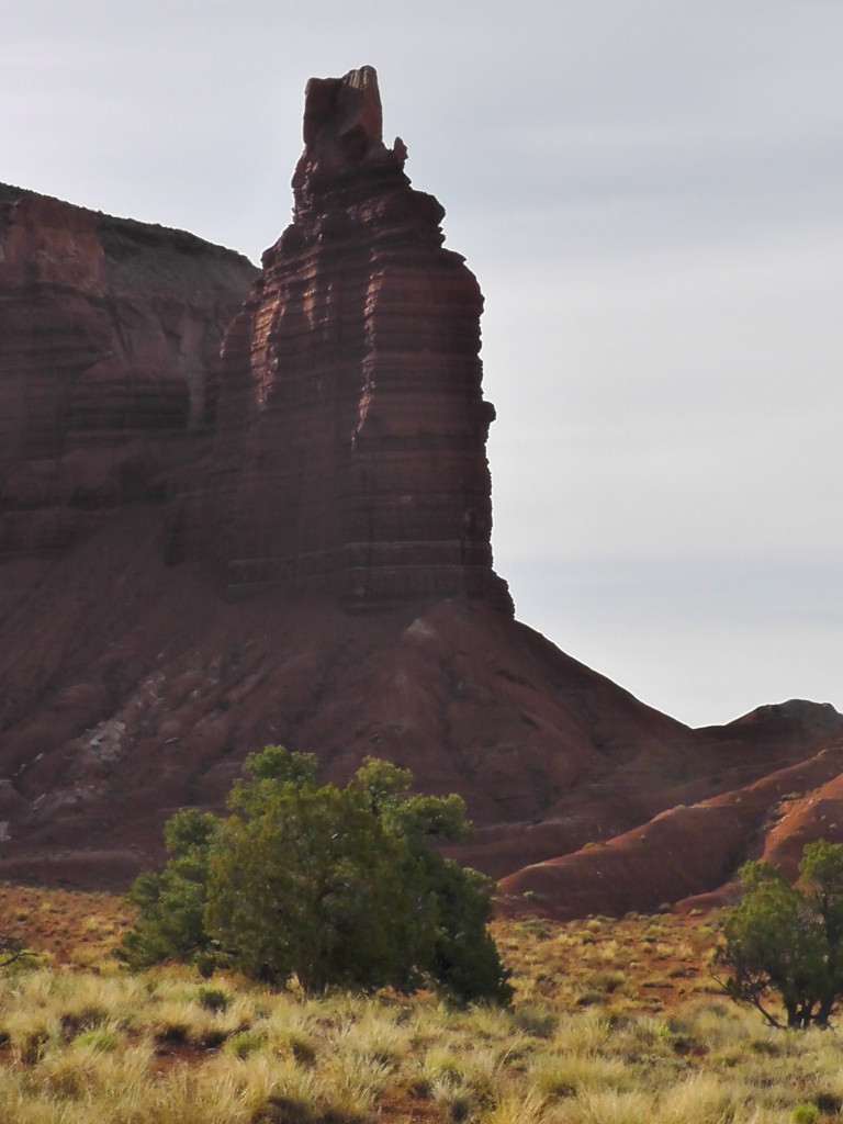
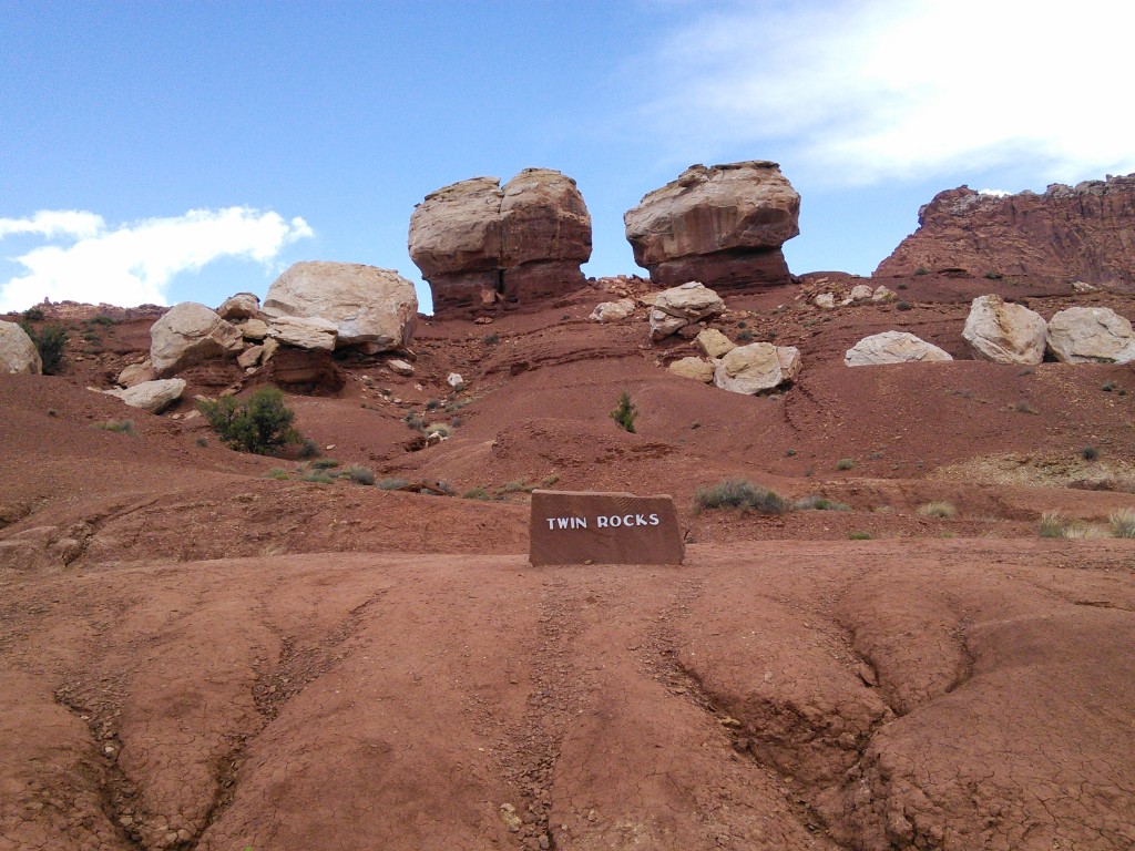
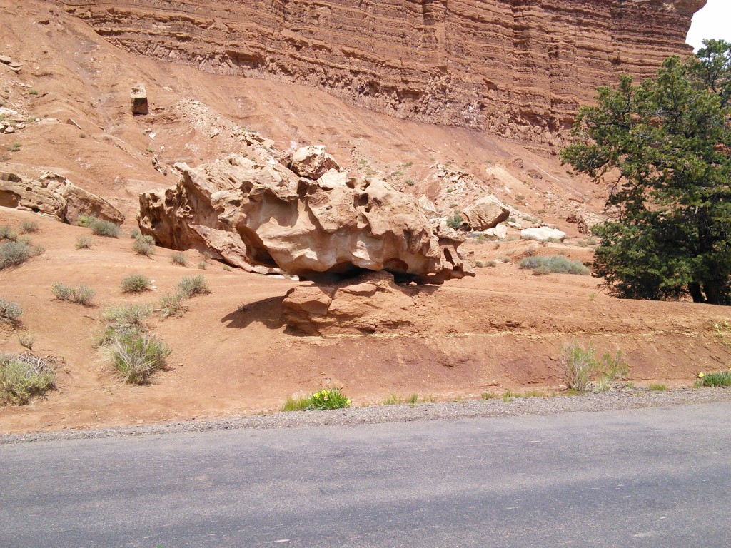
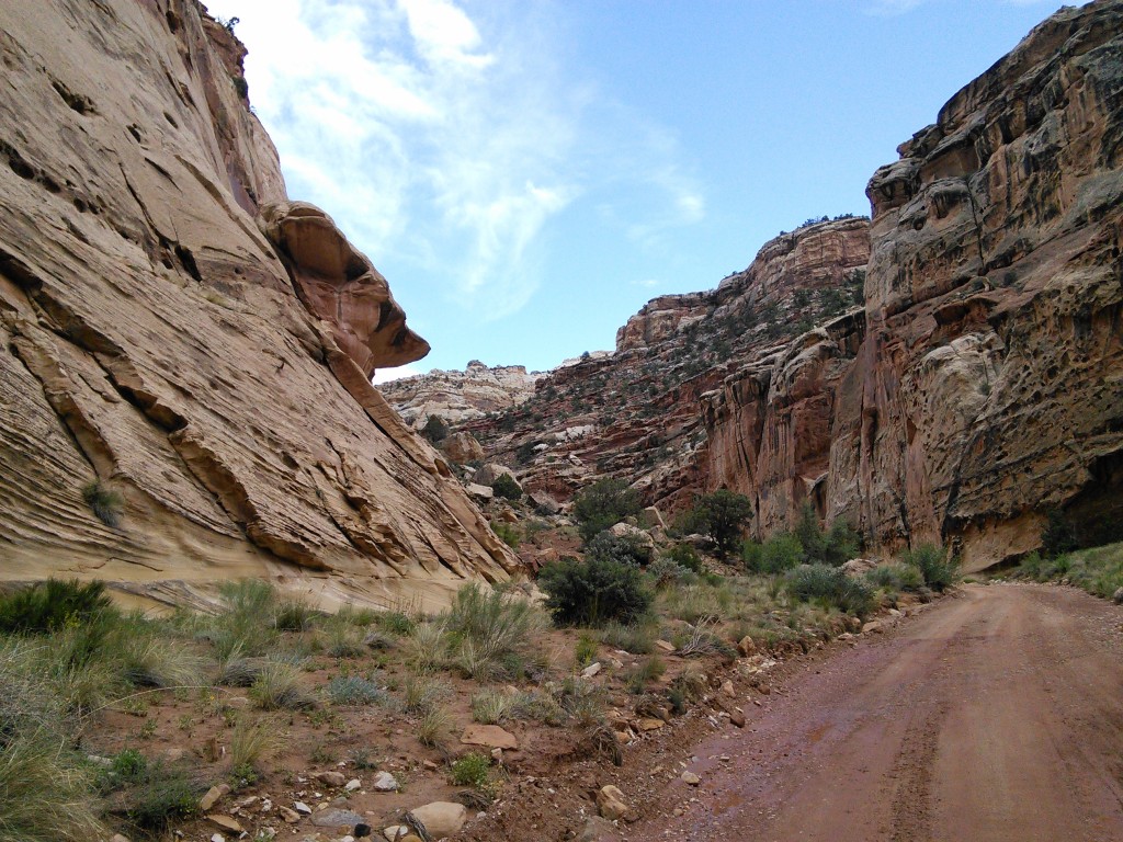
The park is filled with canyons, cliffs, towers, domes, and arches. The Fremont River has cut canyons through parts of the Waterpocket Fold, but most of the park is arid desert country. A scenic drive shows park visitors some of the highlights, but it runs only a few miles from the main highway. Hundreds of miles of trails and unpaved roads lead the more adventurous into the equally scenic backcountry.
